THE GILA RIVER PROJECT
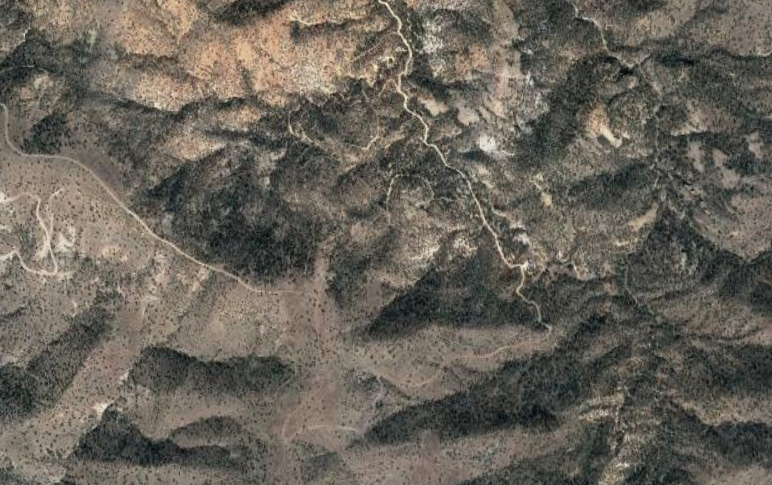
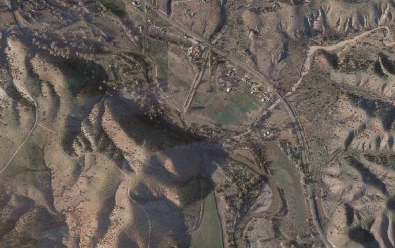
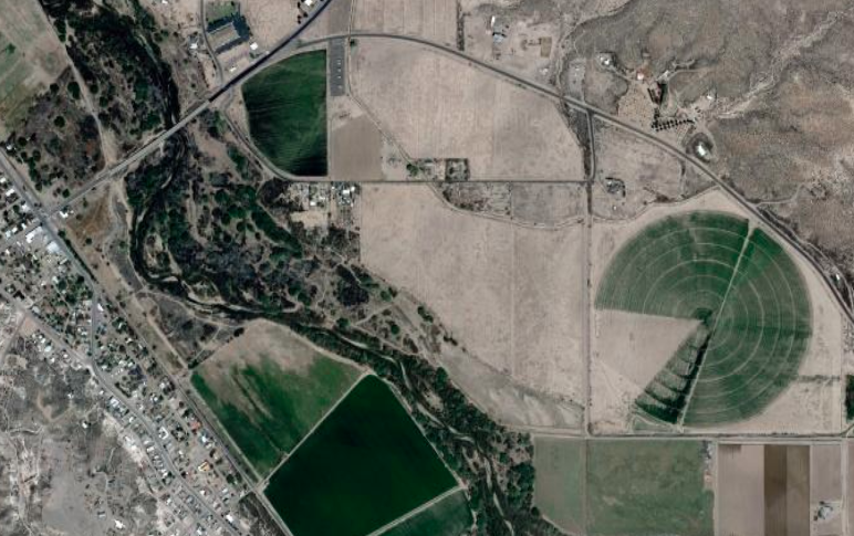
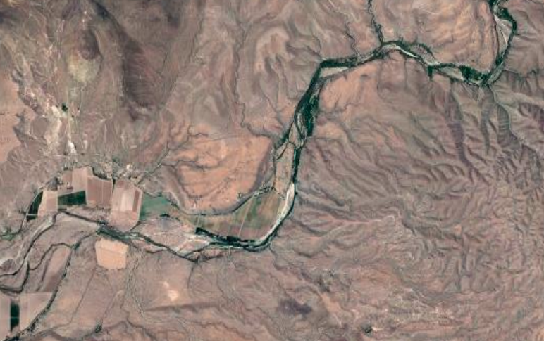
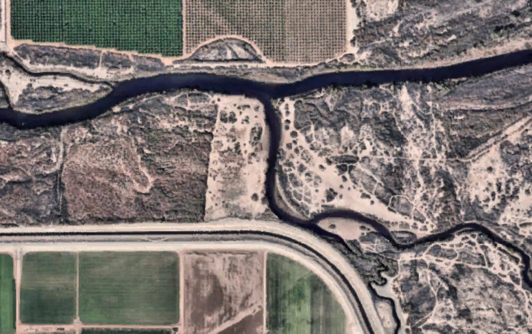
The Gila River Project involved expeditions that took place in 9 regions along the 600+ miles of the river from its origin in the Gila Wilderness in NM to its junction with the Colorado River in Yuma, AZ. Exploratory investigations were guided by background research into the politics, history, culture, and resource management of the area. The expeditions focused on revealing the complex and adaptive eco-plasticity that determined the river’s path in a changing landscape.
A custom designed medallion was installed at significant site-specific locations that represented the focus in each region. Collectively the Medallions map the Gila River Project.
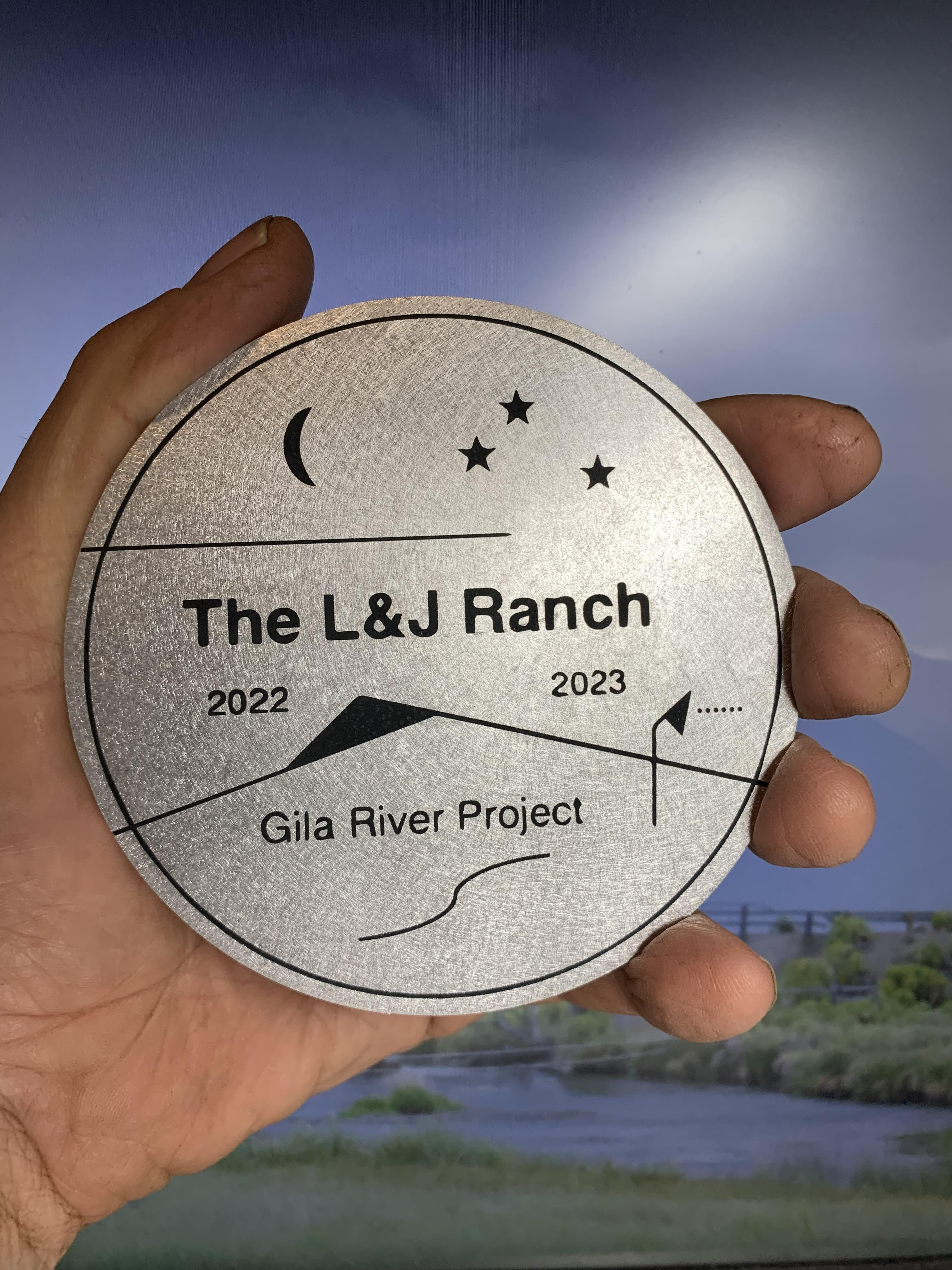
THE GILA RIVER PROJECT MEDALLION AND LOCATIONS
32°55'33.5"N 108°35'25.6"W
32°43'32.4"N 109°06'07.0"W
32°52'46.0"N 109°30'47.0"W
33°10'55.0"N 110°31'12.0"W
33°01'10.0"N 111°28'23.0"W
33°22'44.0"N 112°18'19.0"W
33°13'45.8"N 112°46'09.6"W
32°43'11.0"N 114°33'28.0"W
Takeaways
Nature Doesn't Care
To be wild is to be untamed. To be remote, desolate, and uninhabited.
Human attempts to control what wants to be wild often results in dire consequences in the name of progress and/or sustainability. For 150, 000 years Homo-sapiens have occupied and harvested nature in an attempt to control nature as a resource and as a commodity. Over population, mis-management of resources, pollution, and poorly conceptualized infrastructure serve to further exacerbate this human conflict with nature. It is a war that cannot be won.
The complex ecologies of which humans are part is not cognizant. It is simply wild. Nature doesn’t care. It does not want, need, or feel. It just is.
Water is Power
Water has innate power, and moving water can be a force of nature. The serene view, the slow meandering river, can become a torrent of dangerous flow, capable of changing the landscape and crushing infrastructure. To indigenous peoples’, water has been more than the need to thrive, it is considered alive and holds a spirit. Yet the power of the river can be disrupted by sources of turbulence, both natural and intentional. Attempts to stabilize and distribute the resources of the Gila River, inspires bridges, canals, dams, diversions, and reservoirs. To harness the river is to harness its power.
Up-River / Down-River Thinking
The concept of Up-River/Down-River Thinking highlights the profound influence of context and perspective on our understanding of shared environments. Each observer, whether they are upstream or downstream, perceives the river through a unique lens that is colored by their social, economic, and political realities that determine the rivers value.
>
The upstream realities, agricultural runoff or industrial pollution, deliver consequences that ripple downstream, affecting communities and ecosystems far removed from the source of the problem. This interconnectedness places a moral imperative on all stakeholders to acknowledge their role in the river's ability to adapt. Ignoring this relational aspect can lead to entitlement, commodification, and overuse, ultimately threatening the river's very existence.
Privilege vs. Entitlement
The entanglement of privilege and entitlement is deeply embedded in complex ecological systems. Privilege entails having special rights, advantages, or immunities, while entitlement reflects the belief in inherently deserving such privileges or preferential treatment. When a critical resource like water is limited, there are inevitable winners and losers. Determining access and usage is inherently contentious, driven by historical, economic, and political justifications. At best, these conflicts present significant challenges; at worst, they create legal and managerial crises. The question of "who gets what and why" fuels ongoing disputes, shaping not only the identity of a river but also its destiny
It's Not What You Think
Ranching, agriculture, farms, cattle, hay, irrigation, horses, cowboys, small towns, community, landscaping, parks, reservoirs, fish, swimming, and boating. Essential river ideology. Water, arguably the critical element of any riparian zone, can be manipulated by a different set of rules. Water can be moved, sold, leased, traded, exchanged, dammed, diverted, pumped, and drained. The sacred indigenous ground can become a copper pit in a land exchange. The reservoir that prevents flooding or provides desert recreation can be constructed in exchange for water rights in a distant location. River water is a commodity, endangered by mis-information designed to support the current market. Maybe it is what you think. Its’ all about the money.
The River is Resilient
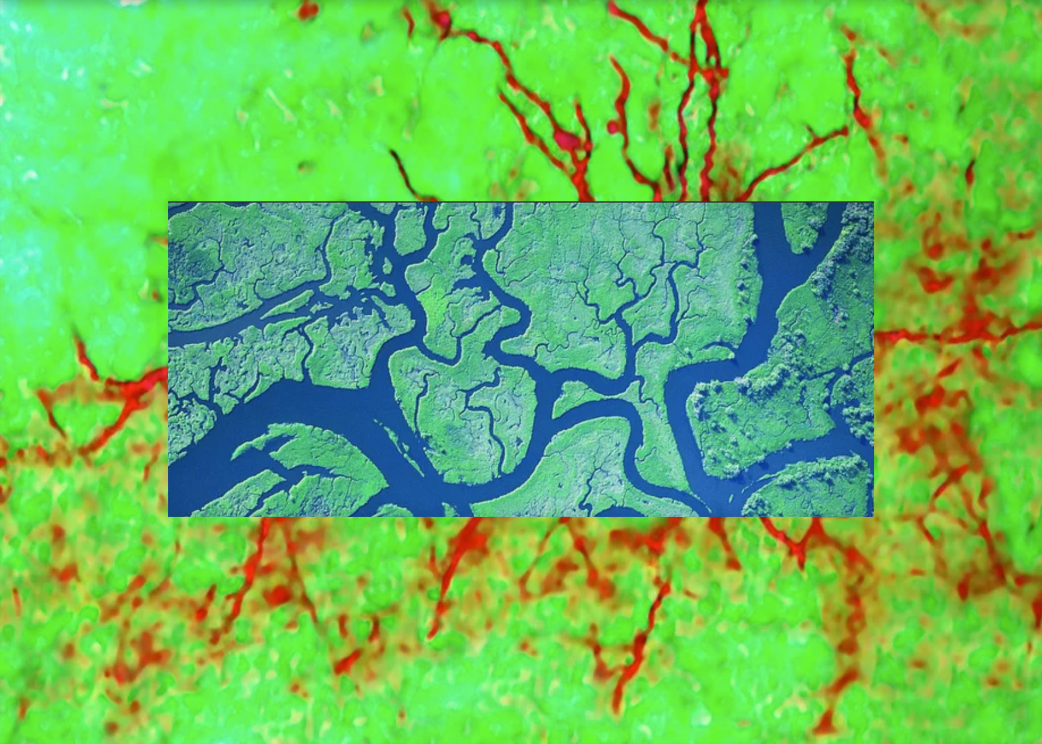
Seen as a complex and therefore dynamic system, the Gila River Project aspires to illuminate the role of eco-plasticity in relation to environmental and human co-adaptation. The term eco-plasticity was developed through the collaboration represented by Joel Slayton and Lisa Johanson. The ongoing ambition is to develop a series of land-use artworks that illuminate the role of eco-plasticity as it relates to an ecology responding to competing forces. By exploring the layered relationships between the natural and artificial challenges, we hope to better understand the destiny of a particular ecology.
Desert river ecosystems, especially those in arid and semi-arid regions, exemplify these challenges as they grapple with climate change, water scarcity, and human engagement. Water serves as the lifeblood of these systems, with its variability directly influencing their ecological structures and processes. The concept of "ecoplasticity" offers a critical framework for understanding and predicting the future of ecosystems like the Gila River, emphasizing their capacity to adapt and reorganize amidst shifting environmental conditions.
Eco-plasticity
Exhibitions
SEEDBOAT CENTER FOR THE ARTS
PRESENTED BY: 19th GILA RIVER FESTIVAL
Silver City New Mexico
August 26 - September 1, 2024


JOAN TRUCKENBROD GALLERY
CO-PRESENTERS:
L&J Ranch visting Artists at Oregon State University Art Department
Feature Presentation PRAx Center for the Arts and Spring Creek Project
Info
Corvallis, Oregon
April 1 - May 27, 2024

Info

Info


