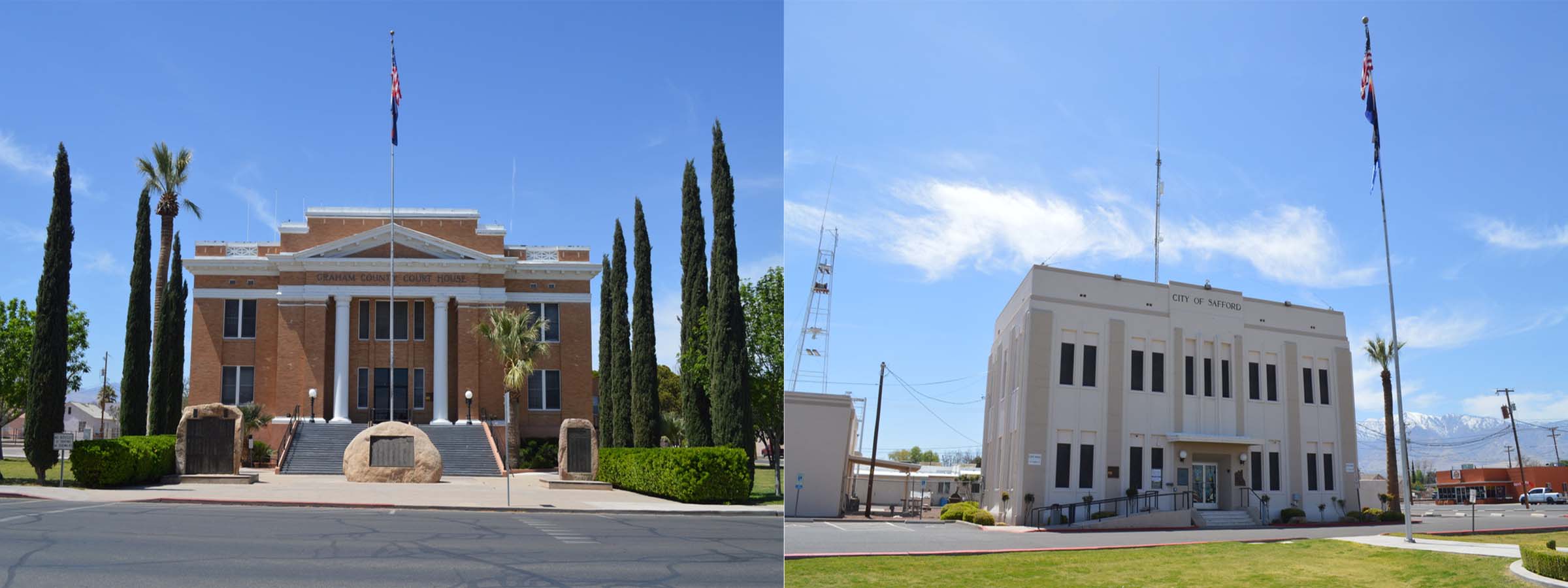
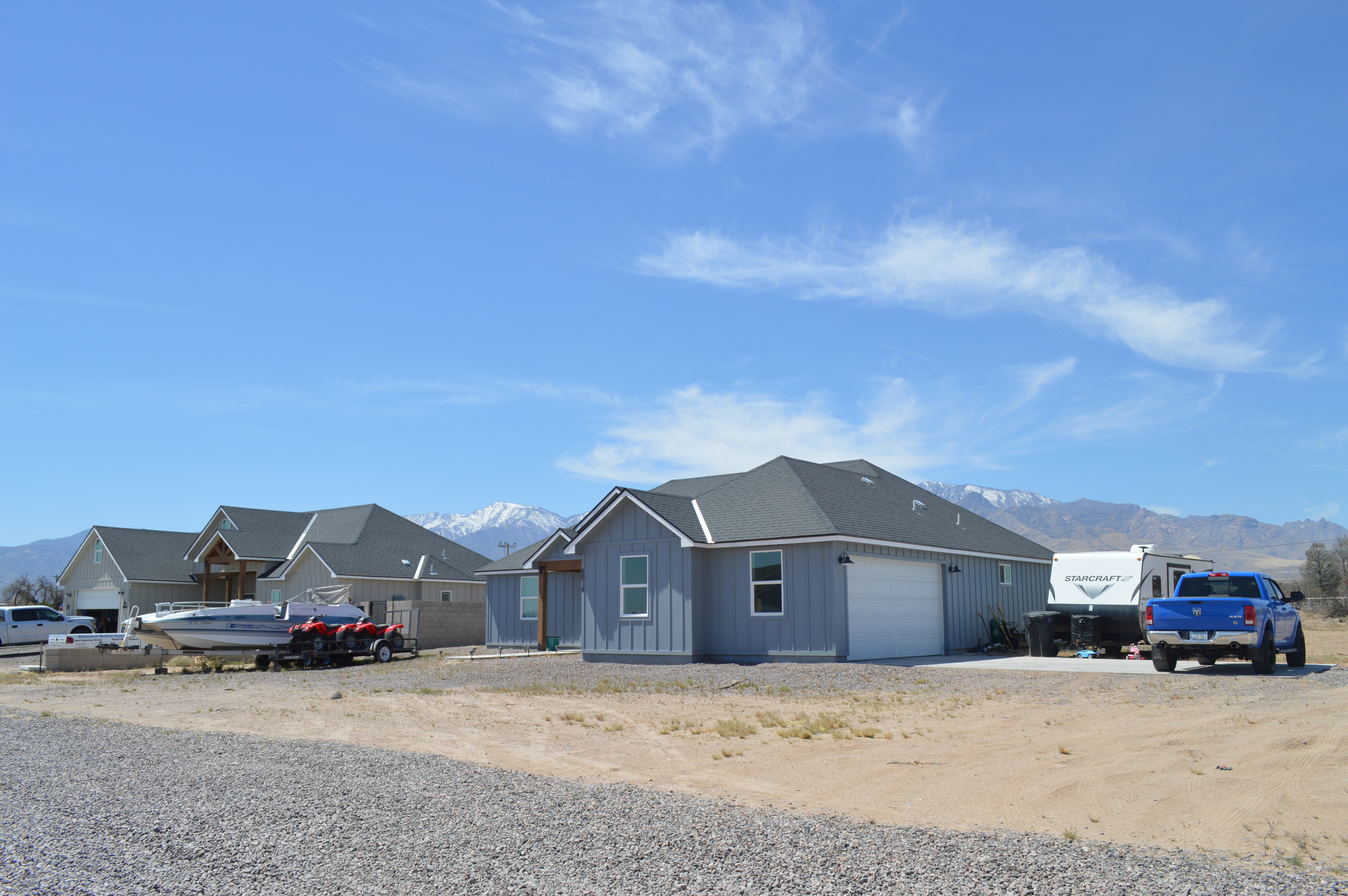
Farming

Graham County

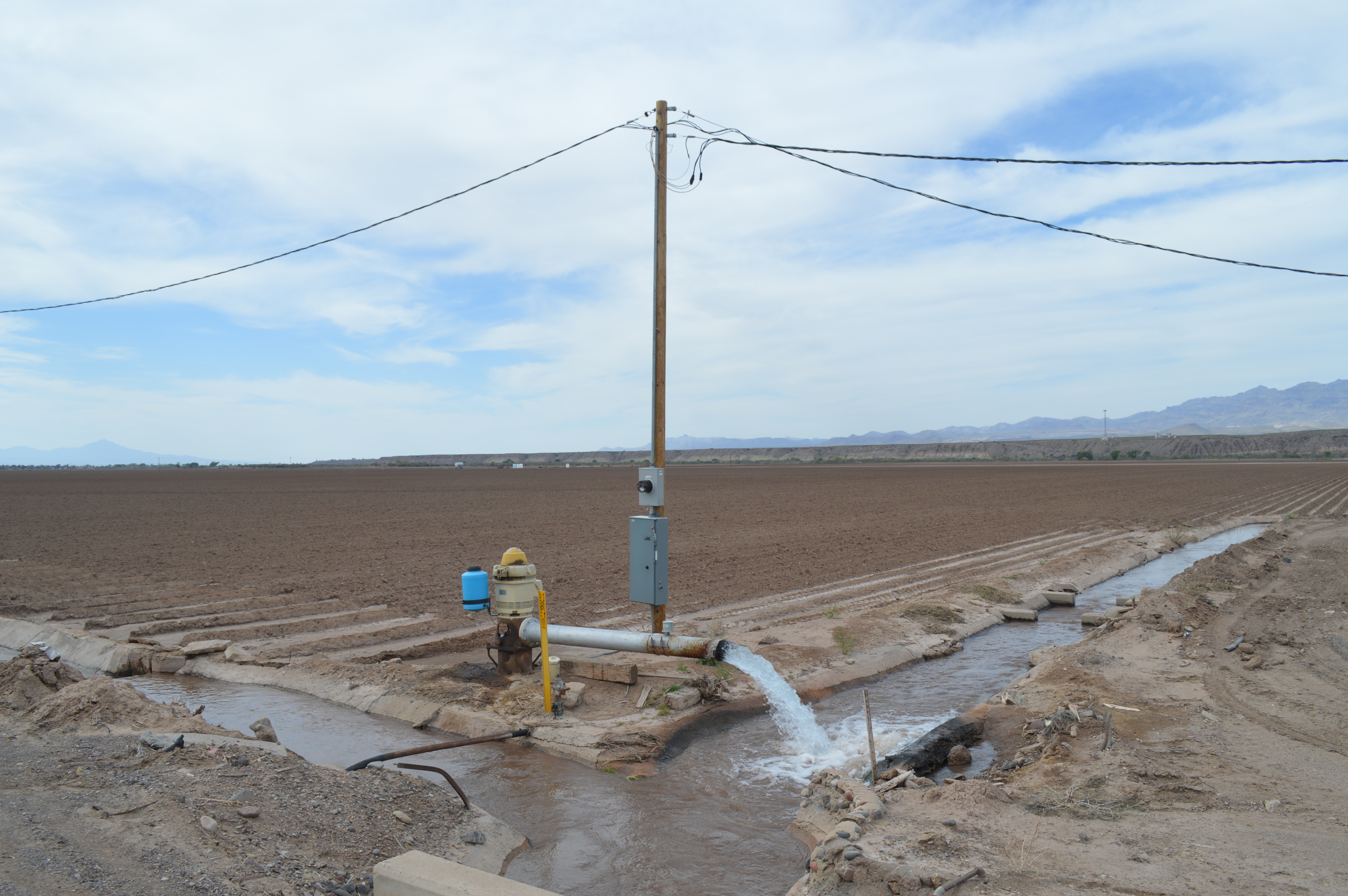
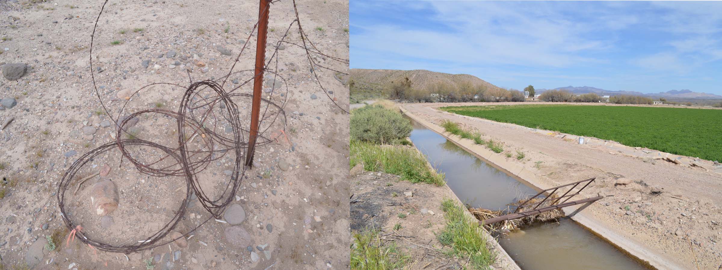
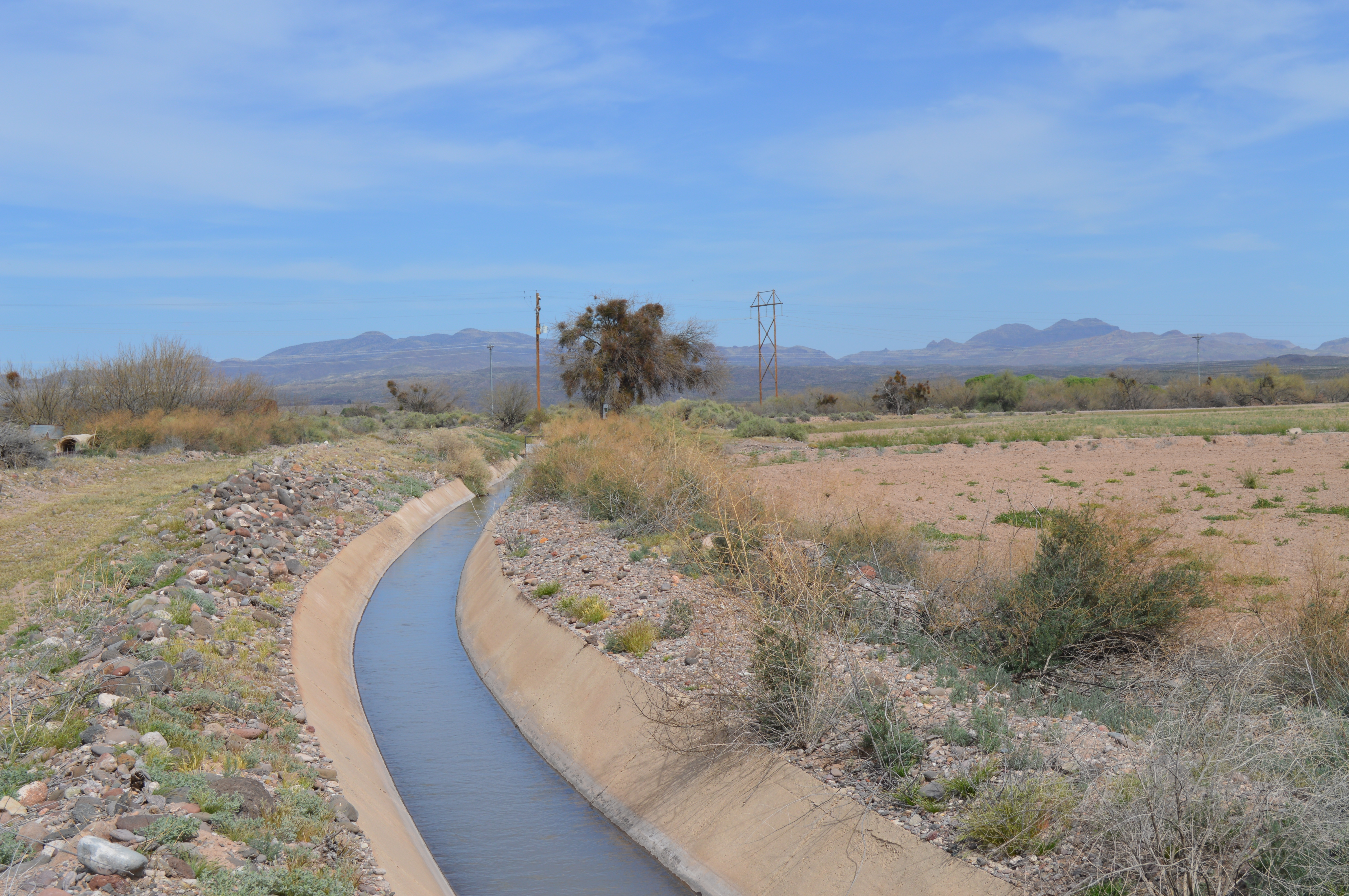
Graham County has an area of 6,500 square miles and is bounded on the north by Gila, Navajo and Apache Counties; on the east, by New Mexico; on the south by Cochise, and on the west by Pinal and Gila Counties. Throughout its history, it has been home to prehistoric indigenous cultures, Apache tribes, Spanish explorers, military units, mining prospectors, and pioneers of different faiths who settled the area. The Gila River bisects the county from east to west, providing an essential irrigation source for a system of canals serving the many farmers for which the essential crops are cotton, hay, and alfalfa.

Farming, growing crops or raising livestock, is the historic foundation and economic and cultural lifeblood of the region. Small farming communities sprung up along the Gila River in the 1870’s, although archeological evidence suggests the development of canal irrigation dates to pre-historic cultures. The management of water resources has been and continues to be the single most critical infrastructure challenge relating to prosperity.


>

32°52'46.0"N 109°30'47.0"W


[1] The River


Traversing across some of the most inhospitable landscapes imaginable, desert rivers can change radically in appearance and behavior and are among some of the least understood ecologies in the world. Due to climate, weather, and human intervention, desert rivers may run completely or nearly dry. In contrast, seasonal rains, snow melt, and atmospheric rivers, can cause dramatic increases in water flow, even widespread flooding. When critical groundwater and aquifers are replenished, wetlands that support bio-diversity are restored. While one section of a desert river may have water another part might evidence little to none.

Sanchez road off Hwy 191 in Solomon leads to a bridge crossing the Gila River. Today, there is a lot of water and every indication points to recent flooding well over its banks. The color of the river is deep brown and it is moving fast. The Gila River emerges from Box Canyon, an ecological reserve, a few miles down Sanchez Road. Water is supplied by snowmelt and monsoon rains, with peak flows in summer and fall months. The river also enables a bio-diverse ecosystem while providing water resources for agriculture and urban areas in Arizona. Today, there was lots of water.


[2] Irrigation


Native Americans have lived along the banks of this region of the Gila River for thousands of years advantaging the unique location to cultivate crops. Mounting archeological evidence indicates that prehistoric indigenous communities in the Safford basin utilized water from the Gila River through an extensive canal network. Some historic canals currently in use appear to have been built upon or follow these canal alignments. As early as ca 190 BC Simon Mogollon communities relied on canals to tap water from the Gila River. This early canal network was further expanded upon by subsequent indigenous populations. These early engineering solutions inform contemporary water management strategies and infrastructure expansion throughout the Southwest where water has evolved as a commodity.


In 1850, early pioneers of The Church of Jesus Christ of Latter Day Saints (LDS) began settling along the Gila River. They brought not only their faith and respect for the land, but also the need to irrigate the farms of a rapidly expanding settlement. By 1881 the community of Safford was thriving. Indeed, it was the Mormon settlers that literally began the transformation for subsistence farming to that of an agricultural economy based on cotton and hay production. Today, Safford is a hot bed for the debate over the current and future of water rights in central Arizona. Farmers, ranchers, mining, tribal nations, businesses, and residents are at odds over how best to manage a sustainable future.

[3] Community


Fort Goodwin, one of the first military posts in the region, was established in 1864 to protect settlers along the Gila River. Named for John N. Goodwin, the first Territorial Governor of Arizona the post served as a center of operations to address the Chiricahua and Pinal and White Mountain Apache Indians under their renowned leader, Cochise, who kept the whole country in a state of terror. This area was the last refuge of Geronimo, and the intense effort of the U.S. Cavalry to capture the Indian war leader and his band of fighters, making the settlement of the Safford area possible.

Standing in on the plaza in downtown Safford, one is struck by the sense of history and influence that Graham County and the town of Safford represent. Graham County, formed in 1881 by the 11th Territorial Legislature, was created from parts of Apache and Pima counties and is named after the 10,724 ft. Mount Graham, the highest peak in the area. The Graham County Court House, built in1916 is listed on the National Register of Historic Places and is the current location of a Superior Court of Arizona. The court is where many of the arguments over water rights are argued. Diagonal to the Court House is Safford City Hall where the democratic everyday lives of Safford citizens is made possible.


Situated between Soloman and Safford, one mile south of The Gila River, is the Safford Ranch Mobile Home Park. Driving through the park reveals a well-manicured community of mostly double-wide trailers that have been customized into permanent homes. The Ranch as it were, features large lots with shade trees, long driveways with covered carports for cars, pick-up trucks, and ATVs. There is also an abundance of lawn decorations. As it was mid-day and rather warm, no residents were outdoors. We could only imagine who lives there.


In 1879 a company of 28 LDS members arrived in the Gila River Valley of Arizona to establish homesteads. This laid the groundwork for establishing farms, while some chose to work as freight shippers in the nearby copper mines in Clifton and Morenci. These pioneers cut canals through the desert soil with horse plows, wooden scrapers, and shovels to divert water from the Gila River for the production of crops and food. In time, more than 40,000 acres of farmland were under irrigation. The Gila Valley Arizona Temple stands as a landmark along Hwy. 70, a couple of miles from the Gila River, and serves a large congregation from the rural communities of the Gila River Valley. Adjacent to the temple are a meetinghouse and two Church-owned recreational softball fields.


[4] Prosperity


They are building new homes in Safford, AZ. This may not seem unusual, but we were surprised to stumble on to the Montana Ranch Estates, a suburban development featuring upscale single-family homes. Something we have not seen in our exploration thus far. Situated with views of nearby Mt. Graham, the development attempts to embody the very spirit of a ranch home. But who lives there?

The median property value in Safford, AZ was $148,200 in 2020, lower than the national average of $229,800. The homeownership rate in is 66.1%, approximately the same as the national average of 64.4%. The median household income in Safford, AZ was $56,602 from 2019 to 2020, during which employment there grew at a rate of 5.71%.


Safford is a quintessential rural American town. It is also a town in transition. A drive along Hwy 70 through town tells a story of growth that includes chain restaurants, the ever popular Walmart, many gas stations, and several newly built, but half empty strip malls and parking lots. Safford has a small but growing hospitality industry including local restaurants and bars, modern motels, and shopping. There is a regional medical center and local community college. This small rural town is close to a variety of parks and recreational facilities. All this takes water. The extended drought over the past two decades has left the town with the ultimate challenge of balancing growth with the availability and access to clean water.


Mid-day and the temperature is hovering around 90 degrees. Normal. We drive by a small private carnival installed in an empty lot along Hwy 70 near the city center. Nothing is moving. There are no patrons, only the carnival employees sitting quietly wherever they can find a bit of shade. The carnival is an exercise in patience, a waiting game with no resolution in site. Much like the town itself, the carnival is stuck in a moment where the past and future collide. It looks good but is it?

[5] Samples


There was a massive amount of land debris from swollen river flows near Soloman, Arizona including small sticks, twigs, brush, and misc. grasses

.


Gila River Water Sample taken immediately north of the first series of irrigation pump stations supporting local agriculture near Soloman


Cylindropuntia acanthocarpa from undisclosed Bureau of Land Management location at the base of Mt. Graham foothills. This is an area known for its pre-historic perennial stream fed canals.


Sticks and reeds collected from the recently receded swollen flood waters of the Gila River .