Exploring the contested ecology of one of America’s most endangered river systems. The 649-mile Gila River, a tributary of the Colorado, flows through New Mexico and Arizona with a watershed area of 64,000 square miles. Named America’s most endangered River in 2019 due to the severe threats of climate change and a proposed diversion project, exacerbated by the strain of decades of irrigation and agricultural pollution. The river has been home to indigenous people for thousands of years and remains vital to the region’s culture and heritage. The Gila River Project investigates one of America’s under-appreciated ecosystems.
Just returned from our exhibition of L&J Ranch” Gila River Project featured at the 19th Gila River Festival and hosted by the Seeboat Center For The Arts in Silver City New Mexico.
This year’s Festival (it’s last) commemorates the 100th anniversary of the Gila Wilderness wile focusing on protecting America's first Wilderness River and one of the most endangered desert river ecologies in North America. The Festival served to explore the Gila’s future. By exploring themes of long-term protection, climate resilience, cultural exchange, and stewardship by envisioning the Gila River’s next hundred years and beyond. Our exhibition contributed substantially to the understanding and discourse regarding the complex issues shaping the Gila River destiny.
Our first exhibtiion of the Gila River Project is at the Joan Truckenbrod Gallery in Corvallis, Oregon and is co-hosted by the Spring Creek Project, PRAx Center for the Arts, and Oregon State University Art Department. April 15-18 we will be Visiting Artists at OSU meeting with faculty and students and on April 16th presenitng a lecture: Water is Power, at the recently opened PRAx Center. Joan Truckenbrod Gallery will host a public reception on April 18th.
Montana loves its fireworks. They can be purchased almost anywhere from roadside vendors in brightly decorated trucks advertising TNT and Freedom. As is our family custom of staging a personal fireworks display, we stopped in our favorite town of Dillon to pick up some displays. Afer a few cocktails and just at dusk, we spent an enjoyable evening participating in what is truly a public ritual. Was a spetacular evening.
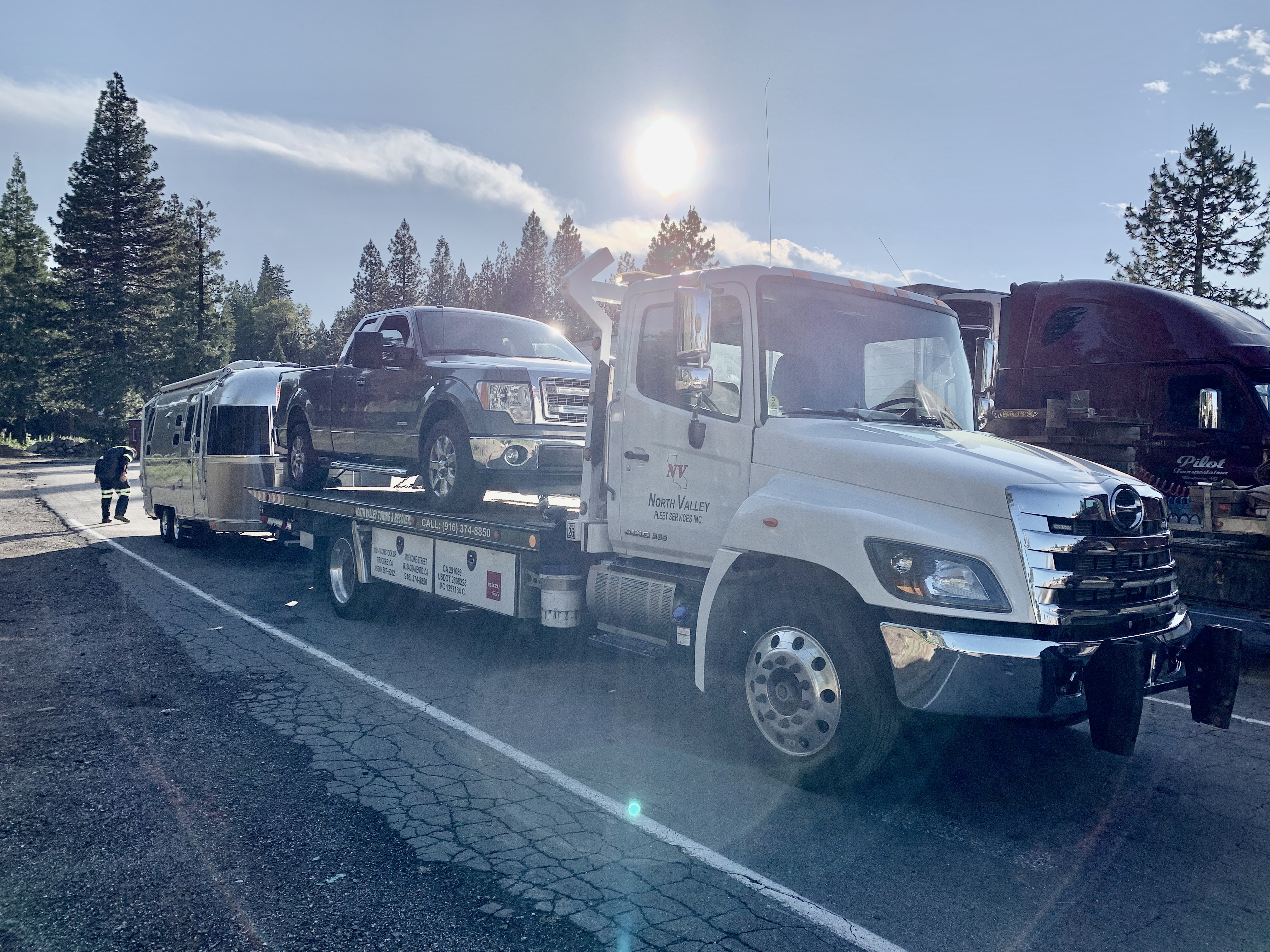
A very tough week. In preparation for our travels to Montana we had to have major service and repair of our Ford 150 truck. Unfortunately, the repair work only served to create more problems resulting in 3 attempts to cross the Sierras. On the 3rd attempt the truck had a catastrophic over heating and we had to arrange tow of the Truck and Airstream back some 40 miles to Auburn, CA., where we purchased a new truck. All of this was done during an extreme heat wave which made the matters all the more complicated.
At approximately 4000 ft, the small modern day mining town of Morenci is perched on a series of bluffs at the center of one of the largest open pit copper mines in North America. It's dry. Every drop of water matters.
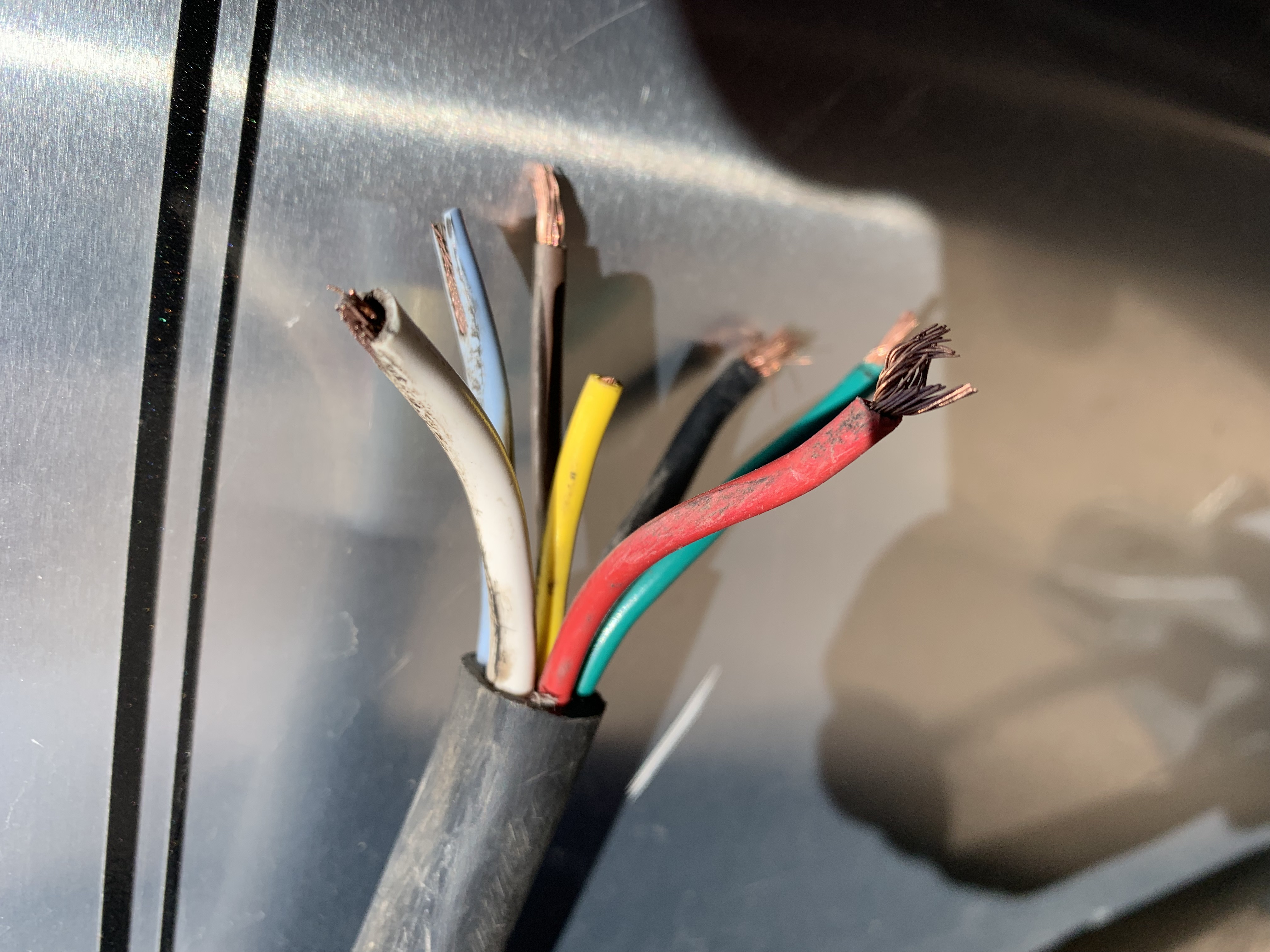
Traveling north from Duncan to Clifton, Arizona, the 7-pin connector supplying power from the truck to the Airstream pulled off and dragged on the road disabling the brakes and running lights. Made it to the North Clifton RV Park where we attempted to fix it ourselves. Acheived 90% of that ambition but brakes were still not operational. Had to have radside assistance come from Lordsburg, some 70 miles away. Finally made the repair and resumed travel.
Impact from California's 12th Atmospheric River of the year. Our drive to New Mexico was both challenging and unpredictable as we negotiated southwestern weather and road closures. Rain and snow runoff between the town of Cliff and the Continental Divide overwhelmed low lying areas of Bear Creek, but became passible if one knew the path to follow. .
The L&J Ranch was invited to participate in “The Hidden Life of Water”, a program combining the Art and Art History and Environmental Studies at SJSU to celebrate World Water Day 2023. Connecting from Cliff NM., the presentation focused on The Gila River Project, a look at the environmental and human impact that is shaping the river’s future. The project introduces the concept of ‘eco-plasticity’ through which the system adapts to survive.
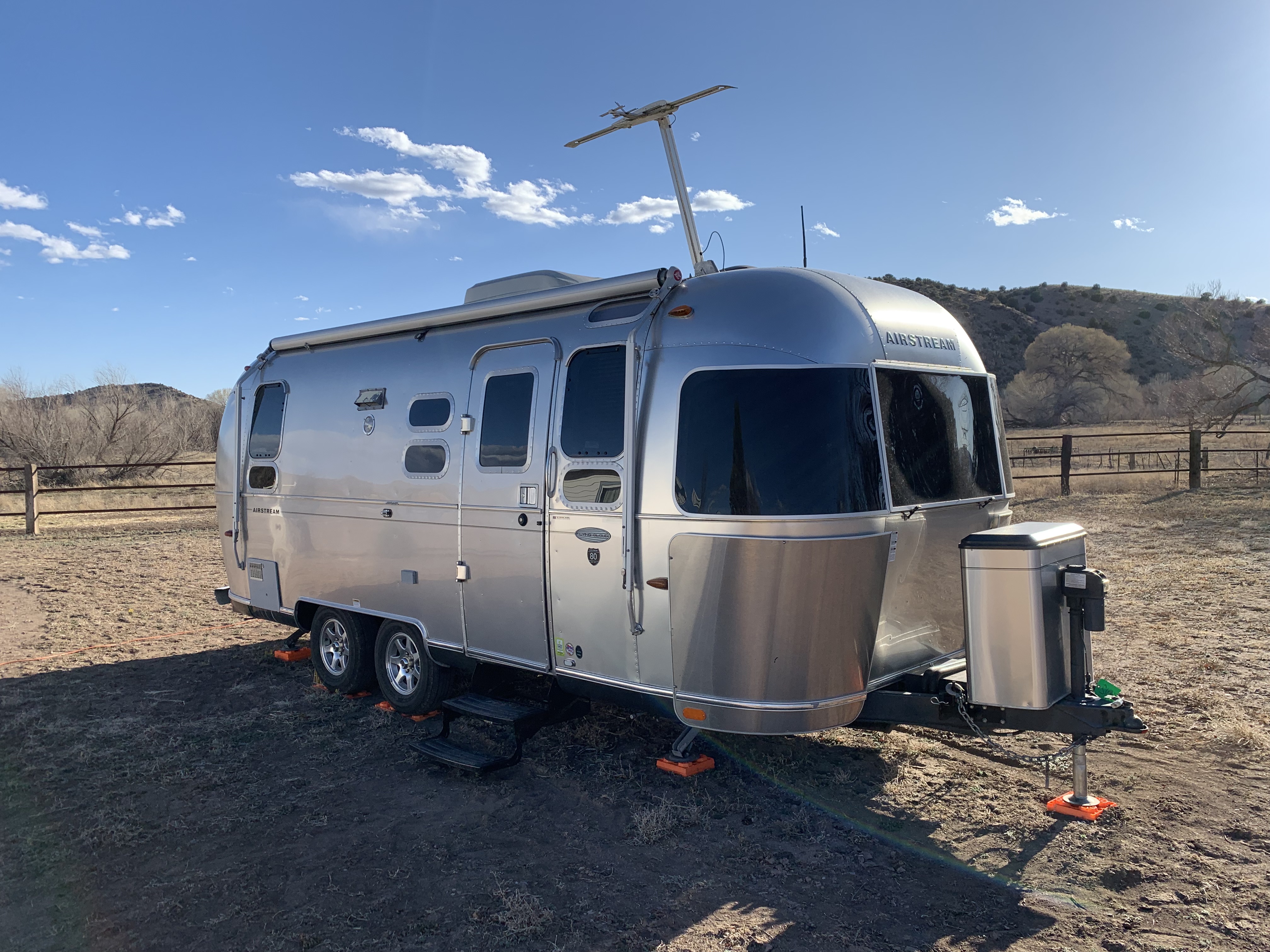
March 19, 2022 arrived in Cliff NM at the Smith Ranch to begin the Gila River Project. The 959 mile drive took 4 days via Tehachapi Pass, crossing the Mojave desert, through the Chemehuevi Mountains south of Needles, with a first glimpse of the Gila River in Gila Bend, AZ. Cliff NM, elevation 4,498 ft, is on the west side of the continental divide with a population of less than 300. The Smith Ranch is 22 acres on the Gila River.
In 2020, Holloman Air Force Base proposed expanding the fighter pilot training area in southwest New Mexico for an estimated 10,000 “sorties”/year at low altitude, some at supersonic speed, and some at night. The flight area included the Gila National Forest and the Aldo Leopold Wilderness Areas. A coalition of business owners, community leaders, sportsmen, concerned citizens, and conservation groups were successful in opposing the expansion and in 2021, the Air Force determined an alternate route. The Holloman Air Force Base decision was a victory for New Mexico public lands due to the collective voices of the community
Laser land leveling is used to create flat fields for planting that maximizes correct water allocation and reduces water waste. Even ground coverage without waterlogging or runoff utilizes a laser-emitting device that scans the field to generate an elevation map for precise control of the field grader blade. Crops are primarily used to feed livestock in the Gila River Valley
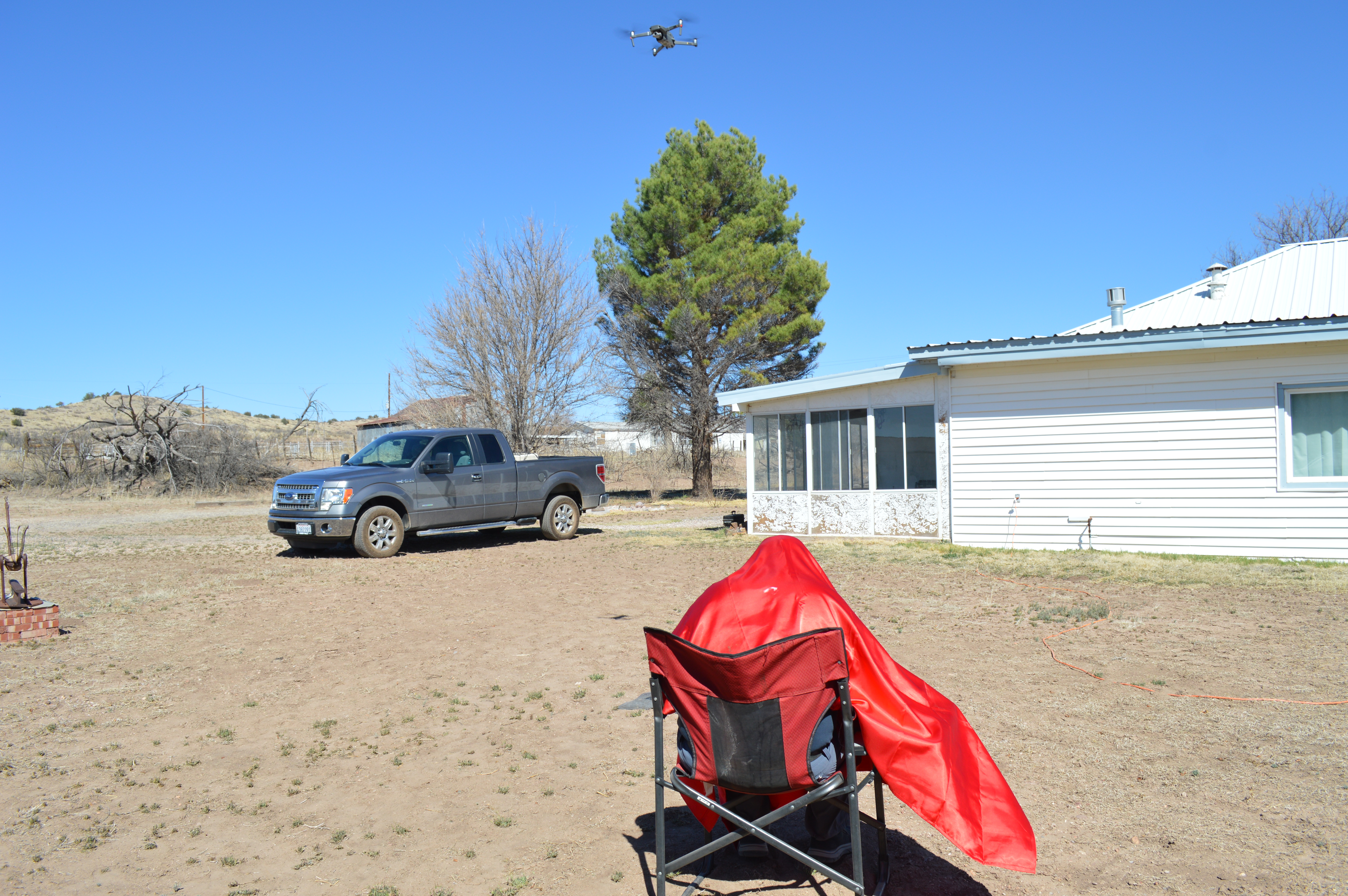
After a challenging flight experience it was decided that control of the drone was compromised by the extremely bright sunlight on the pilot instrumentation interface resulting in an entangment with a massive cottonwood tree along the Gila River. Retreating to the The Smith Ranch the drone was rehabbed and put through basic flight manuevers and video recording protocols.
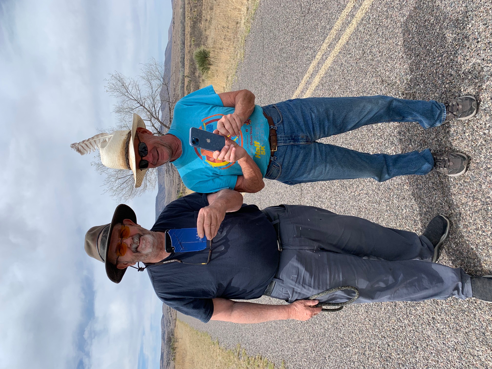
Taking pictures with Russell Smith's new iPhone 13 while walking the dogs along Airport Mesa Road in Cliff, New Mexico. This is the first cell phone Russell has purchased having remained off grid for 20 years. Cell service remains very spotty across this region of Southwestern New Mexico and access to the Internet is of limited bandwidth. Still a good phone is a good phone.
The Gila Cliff Dwellings, protected by the National Park service as an active archiological site, was home to the Mogollon culture. The Mogollon people were able to establish agriculture and trade because of the water resource, but their disappearance around 1200 remains a mystery. After the Mogollon, the nomadic Apaches inhabited the headwaters of the Gila River. Among the most famous was Geronimo.
“In that country which lies around the headwaters of the Gila River, I was reared. This range was our fatherland; among these mountains, our wigwams were hidden; the scattered valleys contained our fields; the boundless prairies, stretching away on every side, were our pastures; the rocky caverns were our burying places”. --Geronimo
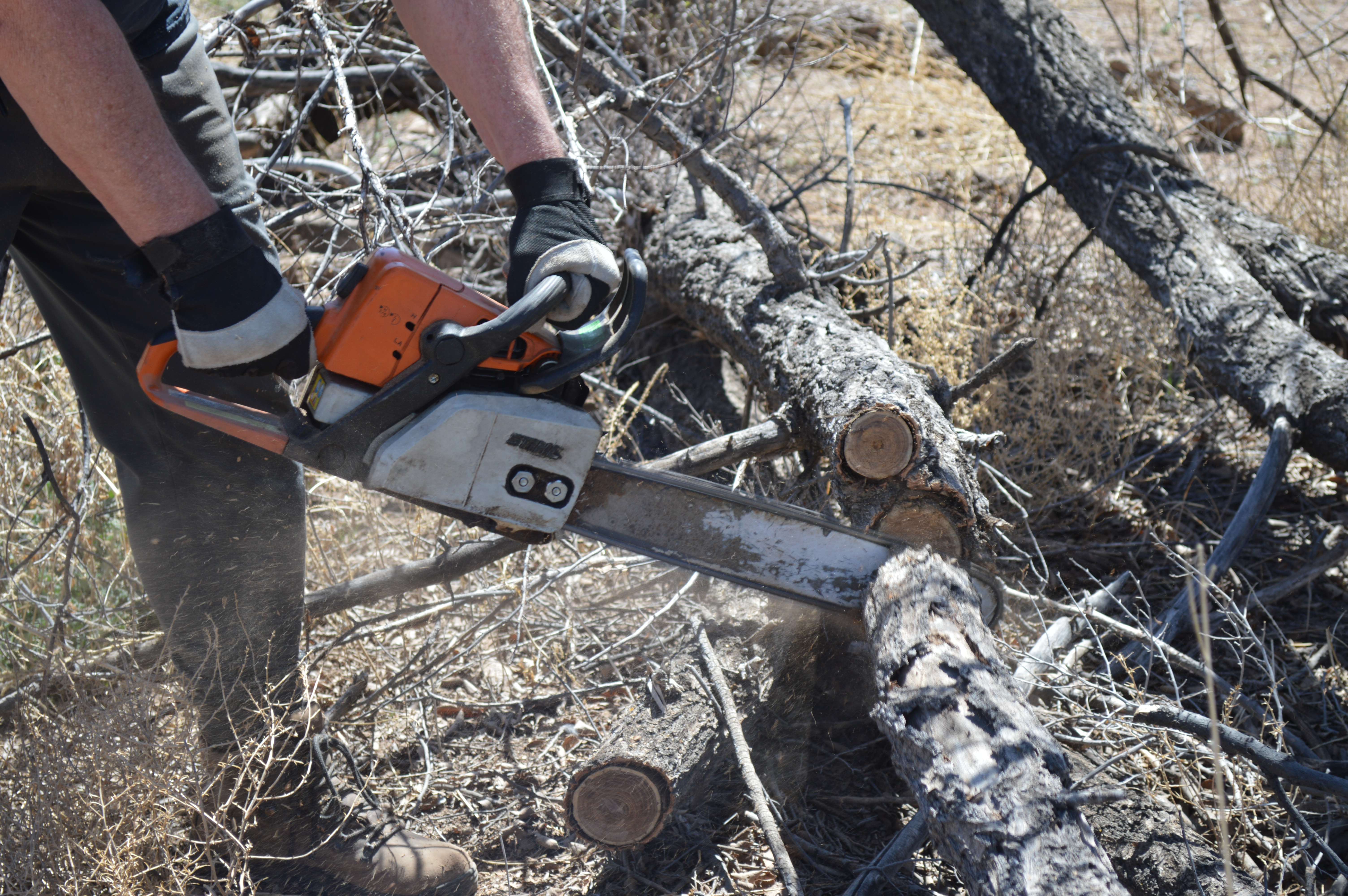
Clearing fallen trees on The Smith Ranch. The dry climate of the high desert wreaks havoc on trees. Only the mesquite seems truly happy. Enjoying the abundant supply of hard dry wood for fire pit during the evenings to keep warm.
Three shoes were found at Bill Evans Lake by Russell Smith during a morning walk. On the Smith Ranch no resource is wasted, and so all three shoes were saved.
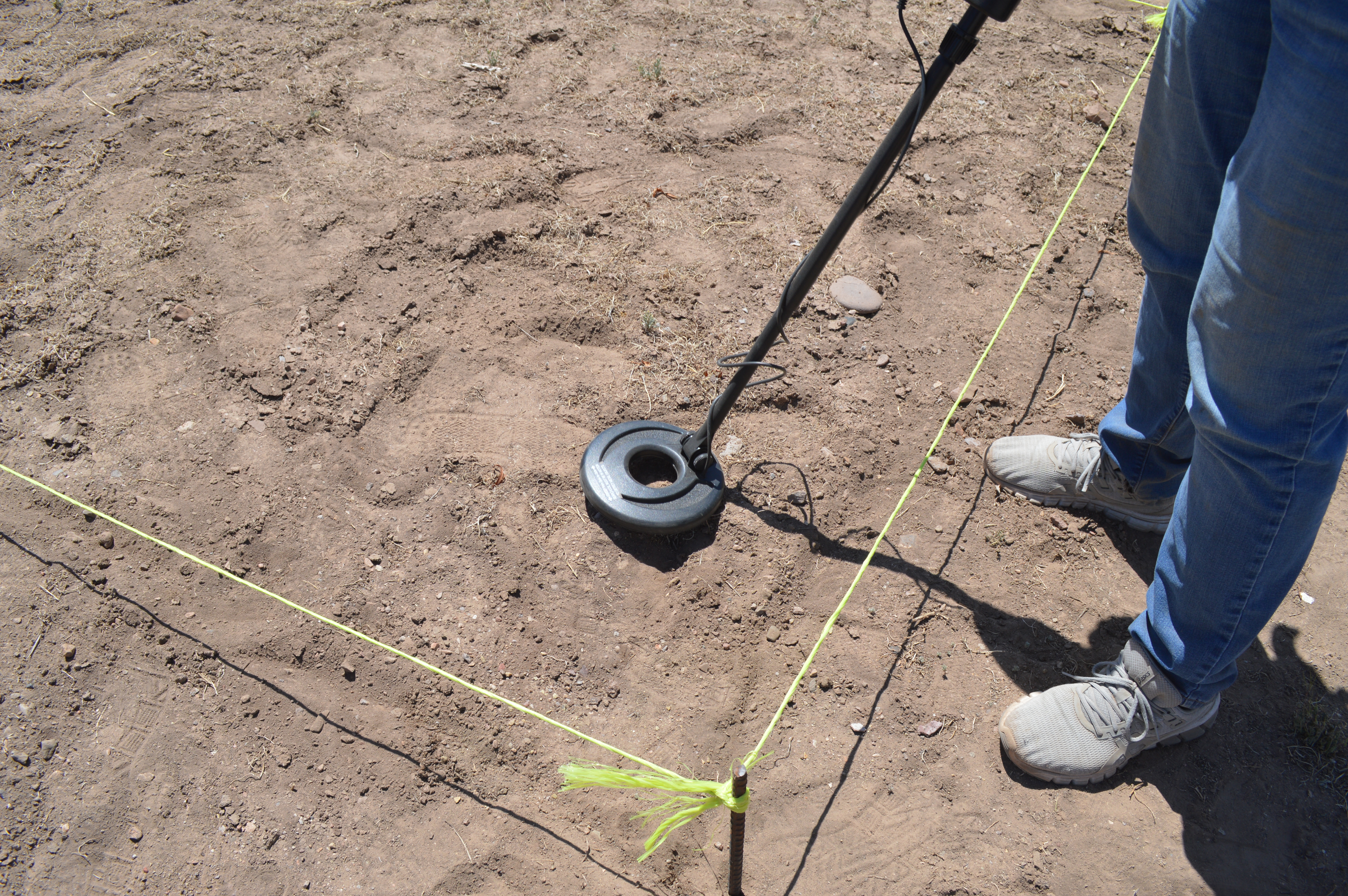
There is virtually no observable presence of indeginious peoples including the notoriously fierce Apache tribes that inhabited this region of New Mexico. After 2 centuries of conflict with Spanish and Mexican colonialists, followed by the Indian War conducted by the US Government, the Apache were forced onto the reservation at FT Sill Oklahoma. Those who remained were assilimated into the 'culture' of Southwest New Mexico. This archeolgical dig on the Smith Ranch attempted to locate artifacts.
Experiencing a major wind storm at the Smith Ranch. Sustained winds and gusts to 40 mph blowing hard across a pasture named after Russel Smith's valued horse Prescott who roams freely.
Off-road, four-wheel drive expedition with Russell Smith, Lisa Johanson, our dogs Allie and Roxanne, up to Turkey Creek Recreation Area to place our first Gila River Project Medallion.
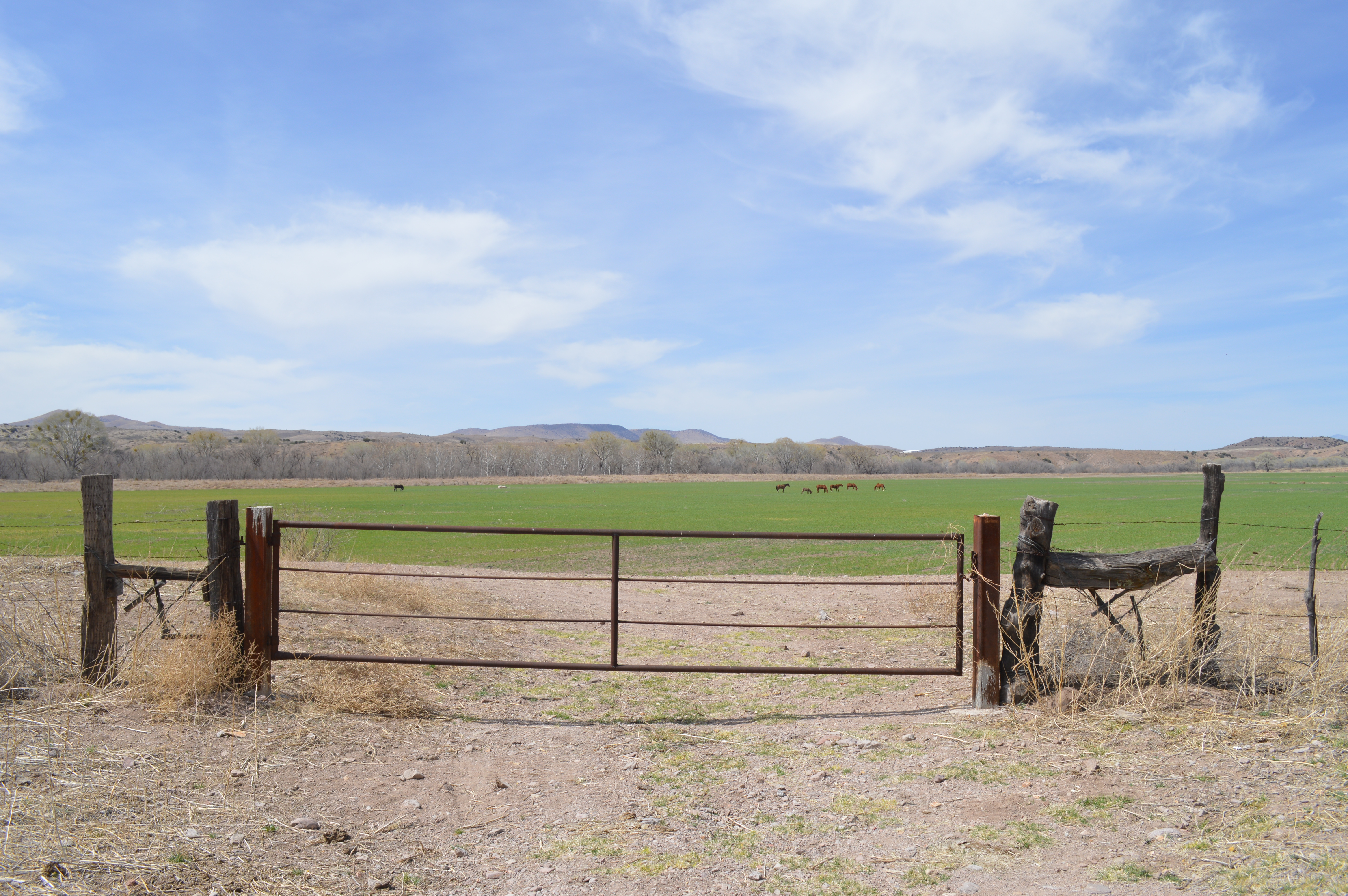
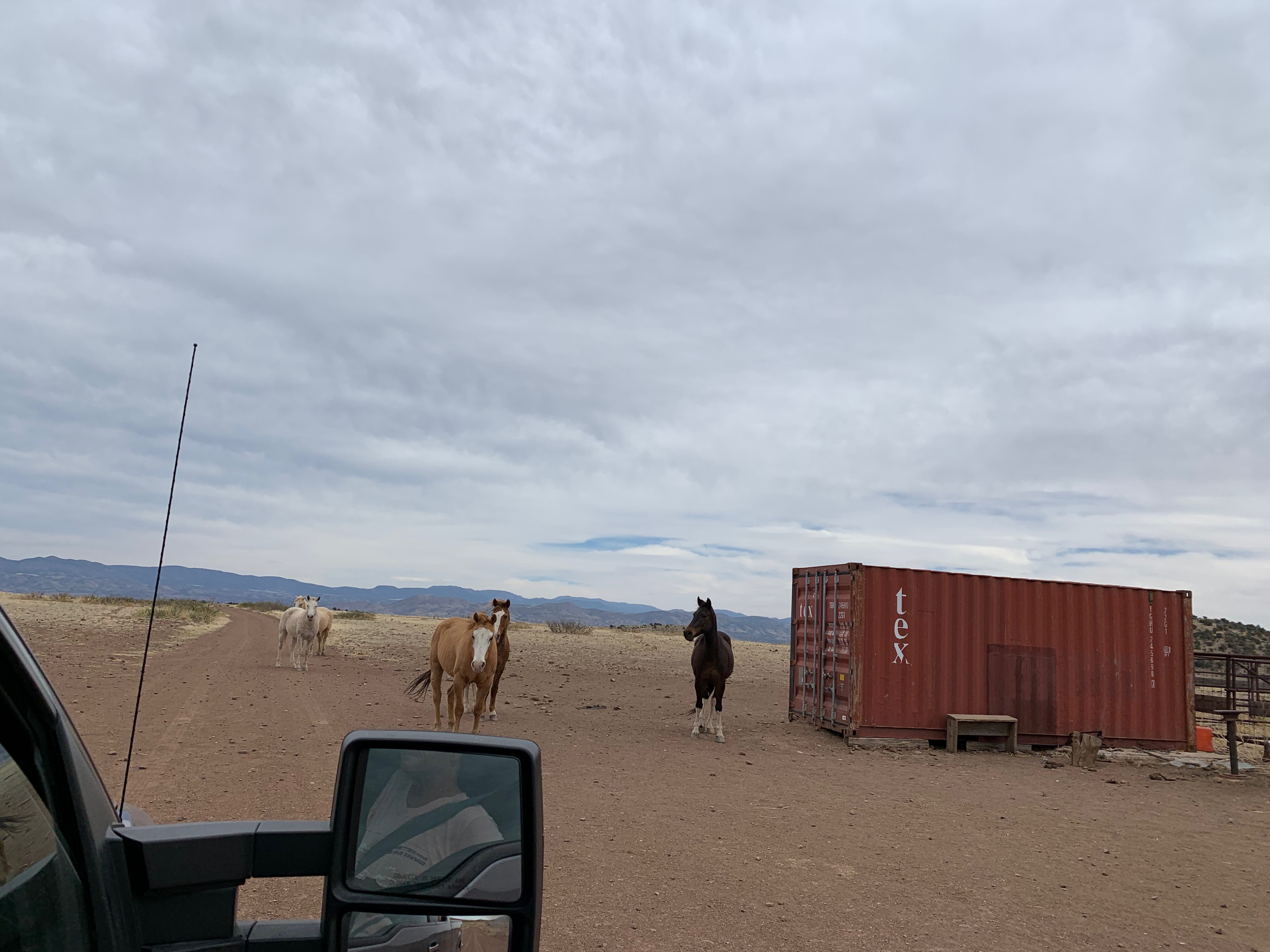
Black Mountain Road winds up and westard from NM State Rt. 180 to eventually empty into the emptiness that is the Arizona wilderness. The road traverses a vast open range where livestock and horses wander freely.
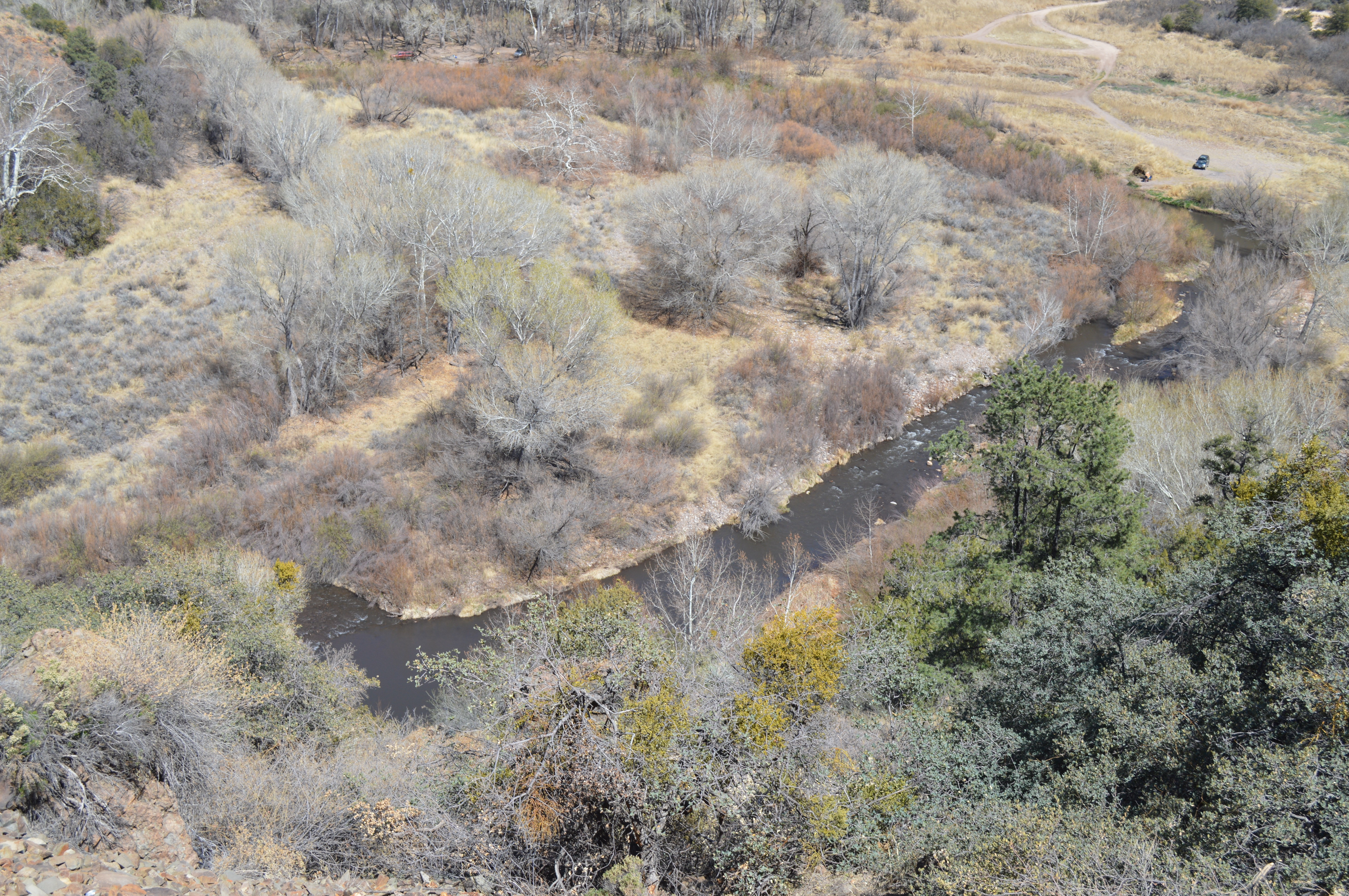
Dramatic View of the Gila River and surronding ecosystem below Bill Evans Lake. Water from the river is pumped into the "lake" which is actually a small reservoir created to support the nearby Tyrone Copper Mine. Popular with local residents, both the lake and river provide for recreational opportunities including camping and fishing.
On the way back to the Bay Area scouting locations for Phase 2 of The Gila River Project. Phase 2 will concentrate on the Airiona segments of his most complicated river ecosystem.
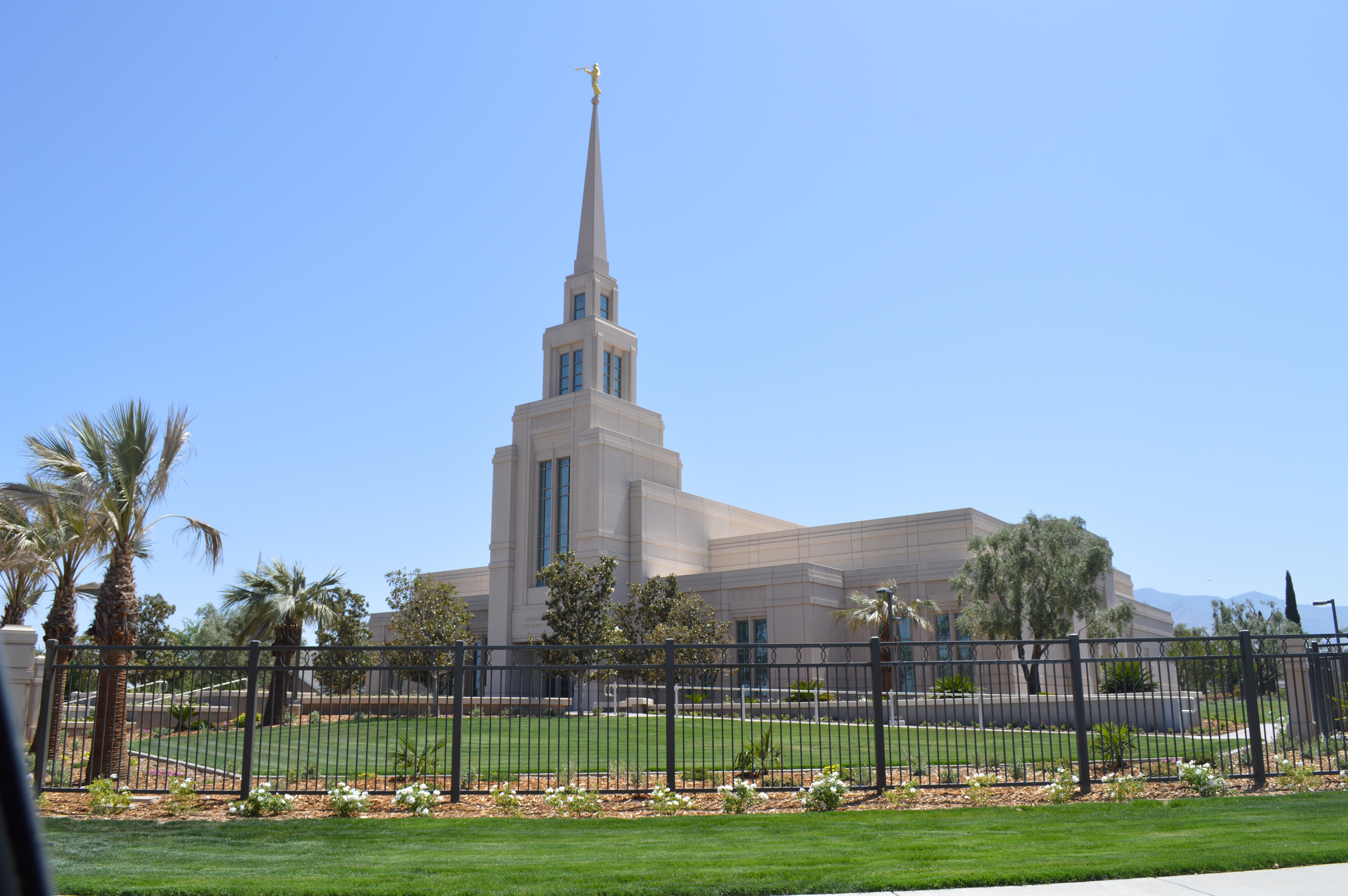
The Gila Valley Arizona Temple is a temple of The Church of Jesus Christ of Latter-day Saints in the town of Central between the communities of Pima and Thatcher. The Temple is just outside Safford, an agricultural community known for hay and alfalfa production. The area has a historical significance to the LDS Church; Thatcher, which was founded by Mormon pioneers in 1881, was home to former LDS Church president Spencer W. Kimball. The role and legacy of the LDS community in detetermiing the destiny of land-use and use and sense-of-place cannot be underestimated.
A beautiful evening at the Smith Ranch concluding Phase 1 of the Gila River Project. Our focus on creating a portrait of land use in relation to sense-of-place revealed a complex set of condiions and persepectives shaping the destiny of this amazing river system. We look forward to returning later this year to expplore the river eastward on its way to meet the Colorado River in Yuma, Arizona.