Nexus

Where the Gila and Colorado Rivers Meet River

After a 649-mile journey through many harsh realities of the landscape in southwestern United States, the Gila River survives the impact of human habitation and climate change and joins the Colorado River in Yuma, Arizona. The Gila and Colorado Nexus is modest at best, for both river ecologies have been shaped by over-use and cycles of severe drought exasperated by climate change. Still there is a magic to the confluence of two of America’s great rivers, a place of contemplation and wonder. Both survive, just barely.


32°43'11.0"N 114°33'28.0"W


[1] The Gila Trail


The route from Gila Bend to Yuma is basically Interstate 8. The Gila River lies to the north of I8, where a network of small county roads provide access to private ranches, farm lands, and ghost towns. To the south is the expansive Barry Goldwater Air Force Range, used for live fire and bombing exercises. The range is one of the largest in the world requiring security and control to be managed by the Air Force, Bureau of Land Management, Department of Fish and Game, and the US Marine Corps..


Traveling west along this route, just over 80 miles from Gila Bend, is Antelope Hill, a long-time landmark for travelers following trails and roads along the course of the Gila River. Located on what was known as Southern Emigrant Trail (Gila Trail), it was a destination to camp and refresh water supplies. Because the trail was passible year-round, it was also a well-traveled stagecoach and mail route, and later the Southern Pacific Railroad laid tracks (1920’s) as part of the transcontinental rail to California. Passenger service was re-routed to Maricopa Co. in 1997 to serve the Phoenix metro area. Union Pacific downgraded the line to a branch line that now operates primarily freight trains transporting grain.


[2] Insurmountable


The Wellton-Mohawk Valley extends from Yuma approximately 60 miles upstream along the Gila River. These lands have been used for agriculture for hundreds of years, first by indigenous nations, and later, for military installations and stagecoach routes. Water from the Gila River at the time, was a constant source for irrigation that was easy to control, thus attracting more farmers to the area. Even before Arizona became a state (1912), two structures to divert water into canals for irrigation were constructed for the valley; one at Antelope hill and one at Texas Hill. A flood in 1891 destroyed both structures. The years that followed were characterized by repeating cycles of severe droughts and more floods. Water levels in the Gila River were diminished due to upriver dams, especially the Roosevelt Dam on the Salt River, a major tributary. Deep wells were dug in attempts to harvest water to support the demand of agriculture, but as the water table was reduced, excessive salinity of both well water and soil threatened crops. Ultimately the challenges posed by the Gila River proved insurmountable.


In parallel to the attempts at constructing irrigation networks on the Gila River, was the need for building bridges to cross the Gila to support the transportation crossroads from Phoenix to Yuma. Stagecoach routes, railways, and later paved roads were necessary to support the expanding economy and settlement. Just as the Gila River proved to be a challenge for irrigation, building a bridge to cross it was equally difficult. Southern Pacific built and re-built bridges near Antelope Hill and south of the Gila Mountains, which were washed away in floods. Ironically, the bridge that stands today is the McPhaul Bridge or “The Bridge to Nowhere”. It was abandoned shortly after it was built because it was too narrow to support two lanes of highway. The river was diverted and a new bridge was constructed, but was also destroyed in a flood. Now the McPhaul Bridge is a road-side attraction.

[3] The District


The town of Wellton, named for its many deep wells, (“Well Town”) is arguably the largest and most prosperous in the valley. Its success is due in part to its location along the Southern Pacific Railroad (now Union Pacific), but also to the creation of the Wellton-Mohawk Irrigation and Drainage District. The District was created by an act of the Arizona State Legislature in 1951. It was organized to provide a legal entity which could enter into a contract with the United States to repay the cost of this irrigation and power project, and to operate and maintain the project facilities. The District, follows the boundaries of the valley and is similar to a city or county. It has a corporate boundary (a “city limit”) and its qualified electorate, owners of irrigable land within its municipal corporate boundary, vote for a nine-person governing body, or Board of Directors. The District controls approximately 378 miles of main canals, laterals, and return flow channels, 3 major, 4 minor, and 10 side-delivery pumps, 90 drainage wells, and about 300 observation wells. The drainage wells keep the saline water below the root level and then drains its saline groundwater to the ocean.

The District gets its water from the Colorado River, not the Gila River.


Given the stable source of water an amazing diversity of crops can be cultivated year-round, due to the climate. The estimated crop yield is two to three tons/acre in an area that receives 3-4 inches of rain/year. The area produces a variety of grains and grasses, specialty seeds, cotton, fruit, nuts, cattle and sheep. The McElhaney cattle ranch (Five Rivers) boasts 100,000 cattle and owns 6 miles of the Union Pacific Rail line.


[4] Yuma


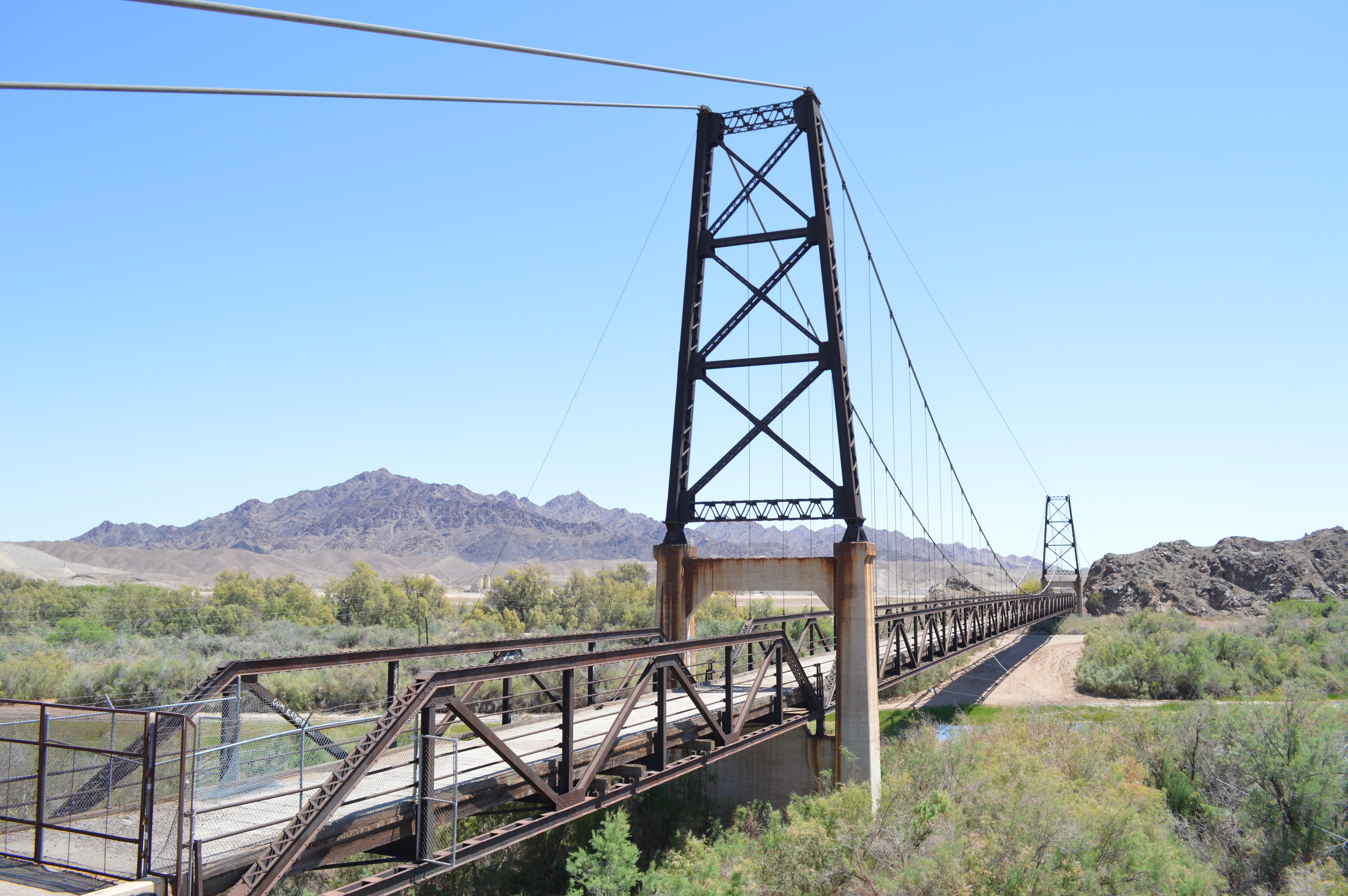
Known as the "Sunniest City on Earth", “promising sunshine and warm weather at least 91% of the year”, is the city of Yuma. It is the center of the Metropolitan Statistical Area of the county of Yuma with a population of approximately 203,247. Yuma is situated 10 miles from the Mexican border and just a few miles west of the confluence of the Gila and Colorado rivers. A natural crossing of the Colorado River along The Southern Immigrant Trail, provided for an ideal location for the City’s emergence as a portal to California. Opened in July 1875, the Yuma Territorial Prison was where gunslingers, stagecoach robbers, and every other brand of outlaw could expect to end up until the site was closed in 1909. Yuma is billed as having the most extreme climate in the United States, with less than 4 inches of rain each year, more 90-degree days, the least humidity, and the most sunshine of any US City.

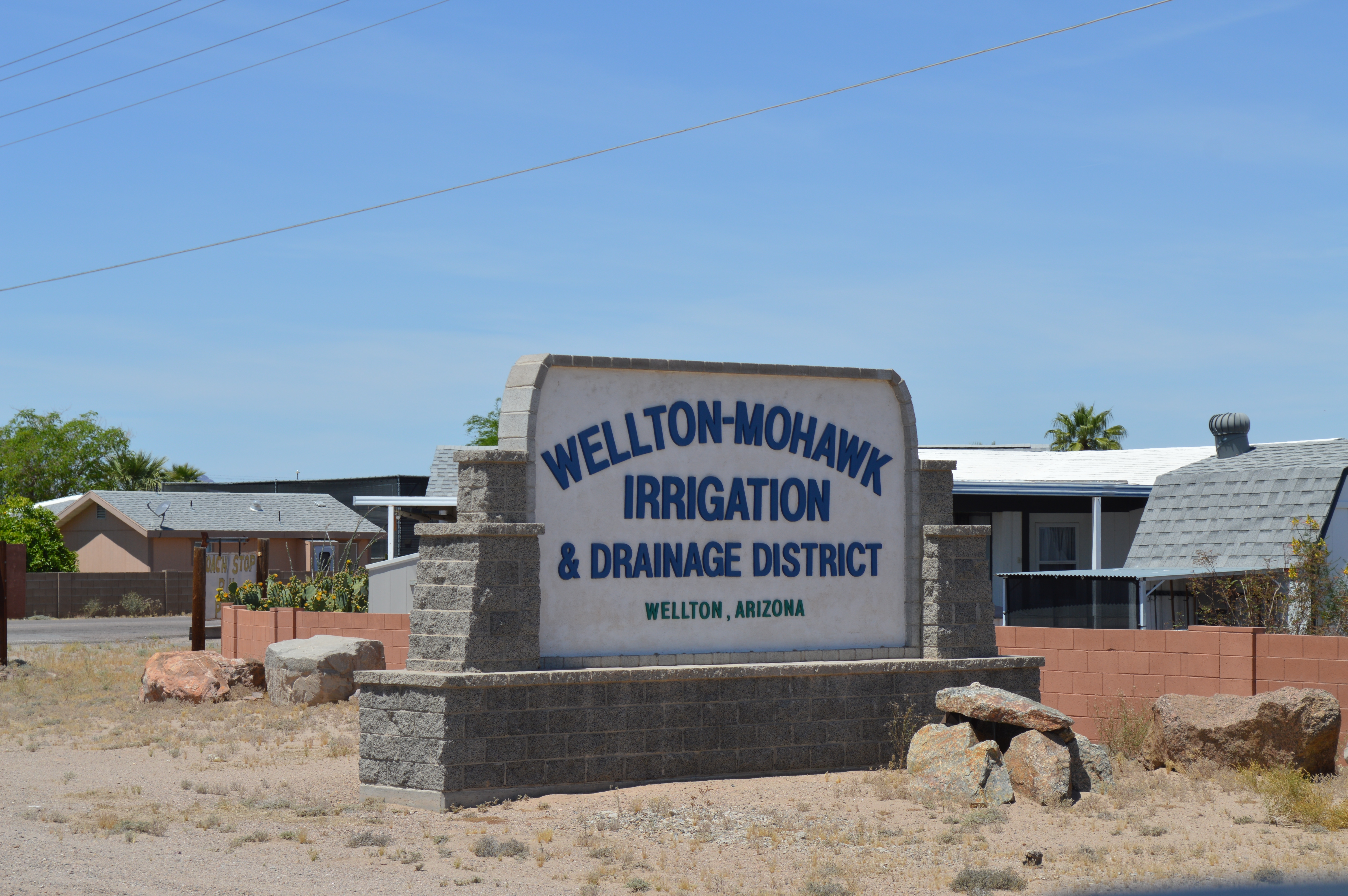
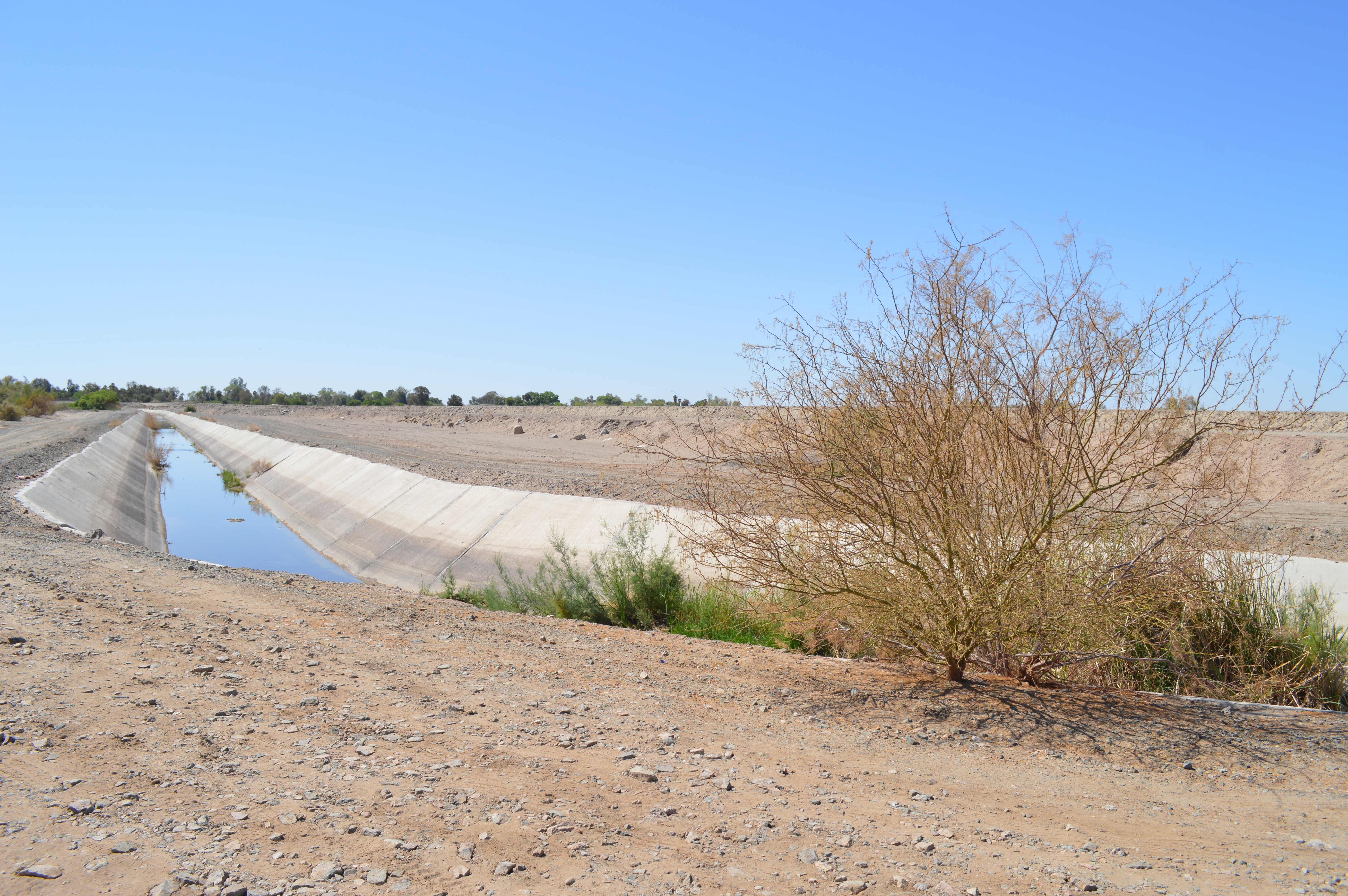
Millions of years of nourishing sediment from the Colorado and Gila Rivers converted into over 250,000 acres of fertile farmland. This takes water, that is in increasingly short supply due to extended drought and impacts of climate change. The U.S. Bureau of Reclamation announced a Tier 2a Water Shortage in August of 2022, triggering water shortages for calendar year 2023. This declaration required Arizona to reduce its consumption of Colorado River water by 592,000 acre-feet. More than $1 billion in funding from the Inflation Reduction Act will go to farmers, cities, and tribes to reduce their take of the river’s water. Yuma and Arizona's share of the 3 million acre-feet of water cuts over the next three years will not be for agriculture, as that industry has senior water rights. The State is relying on models of conservation and more efficient water management to reach its goal.


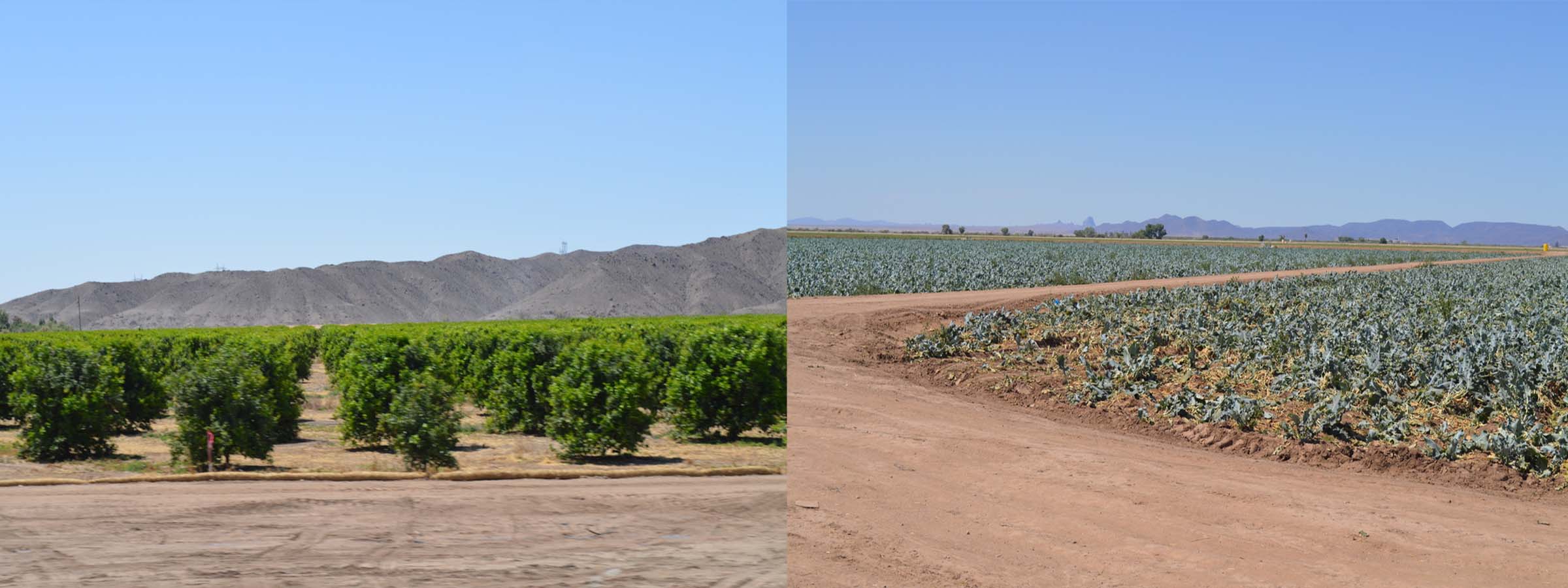
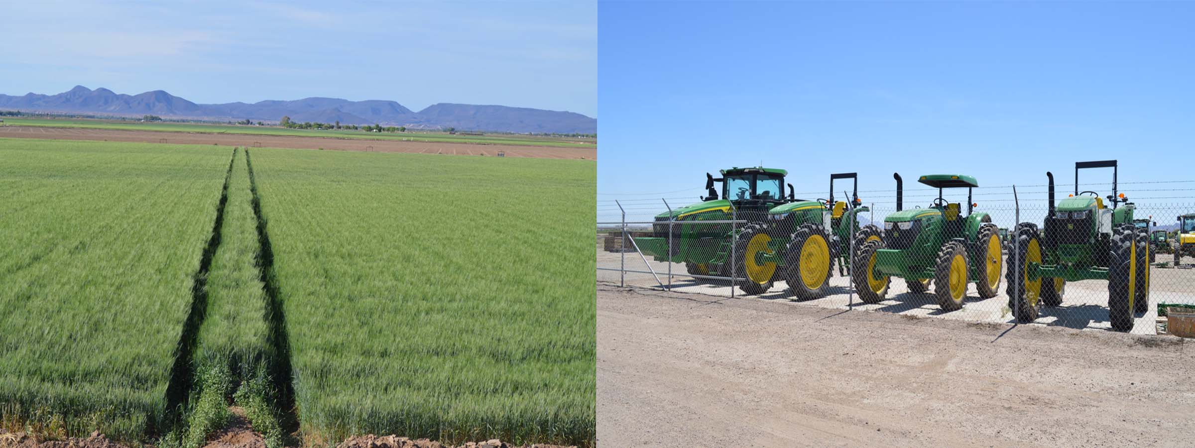
Over 90% of all leafy vegetables in the United States are grown in the county. In the winter, crops include 75 varieties of lettuce, baby greens, cauliflower, broccoli, herbs, root vegetables, and kales. Summer crops include hay, hard red wheat, Durum wheat, cotton, Medjool Dates, watermelons, cantaloupes, honeydew, alfalfa, and Bermuda grass seed. 
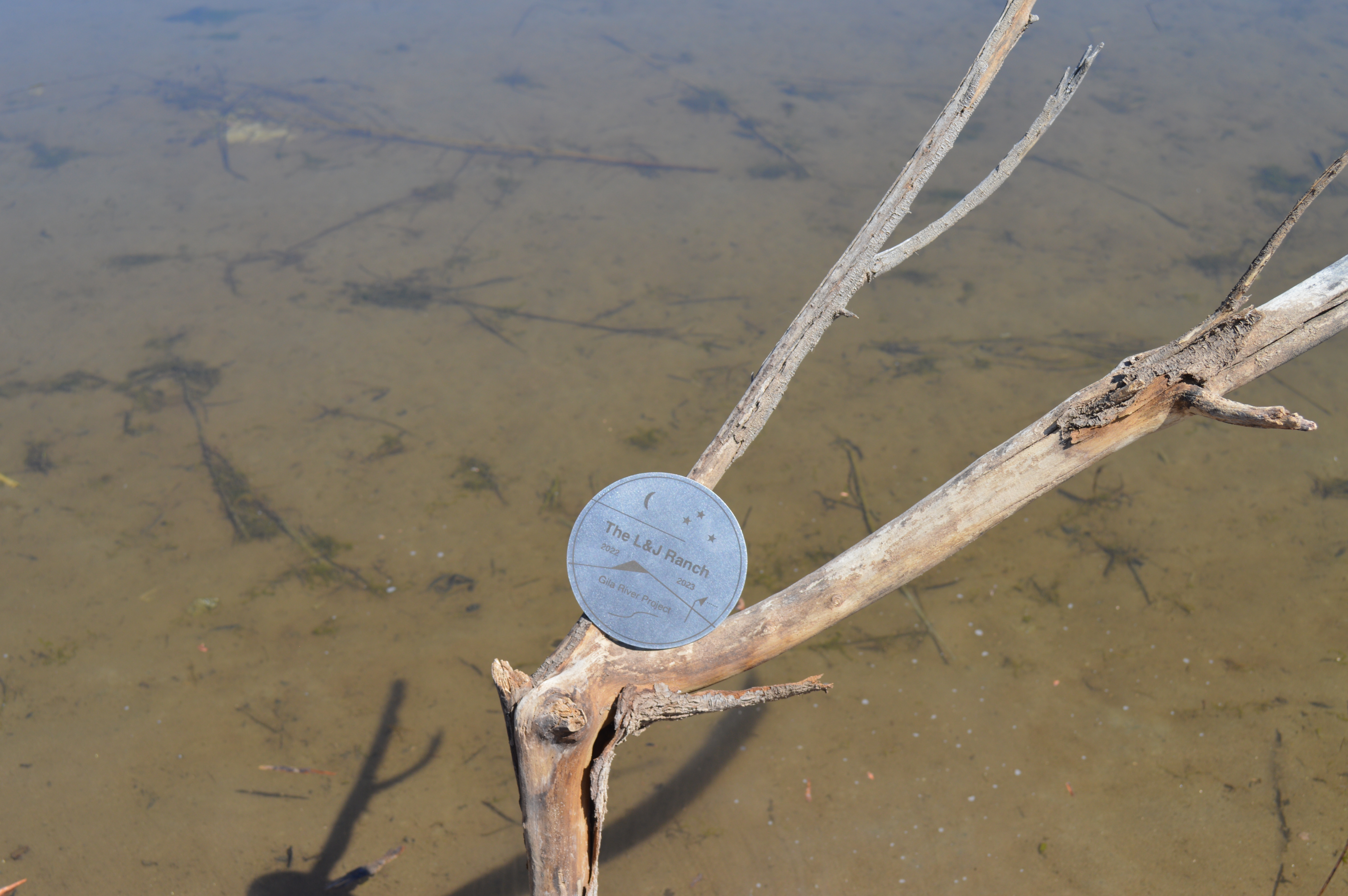
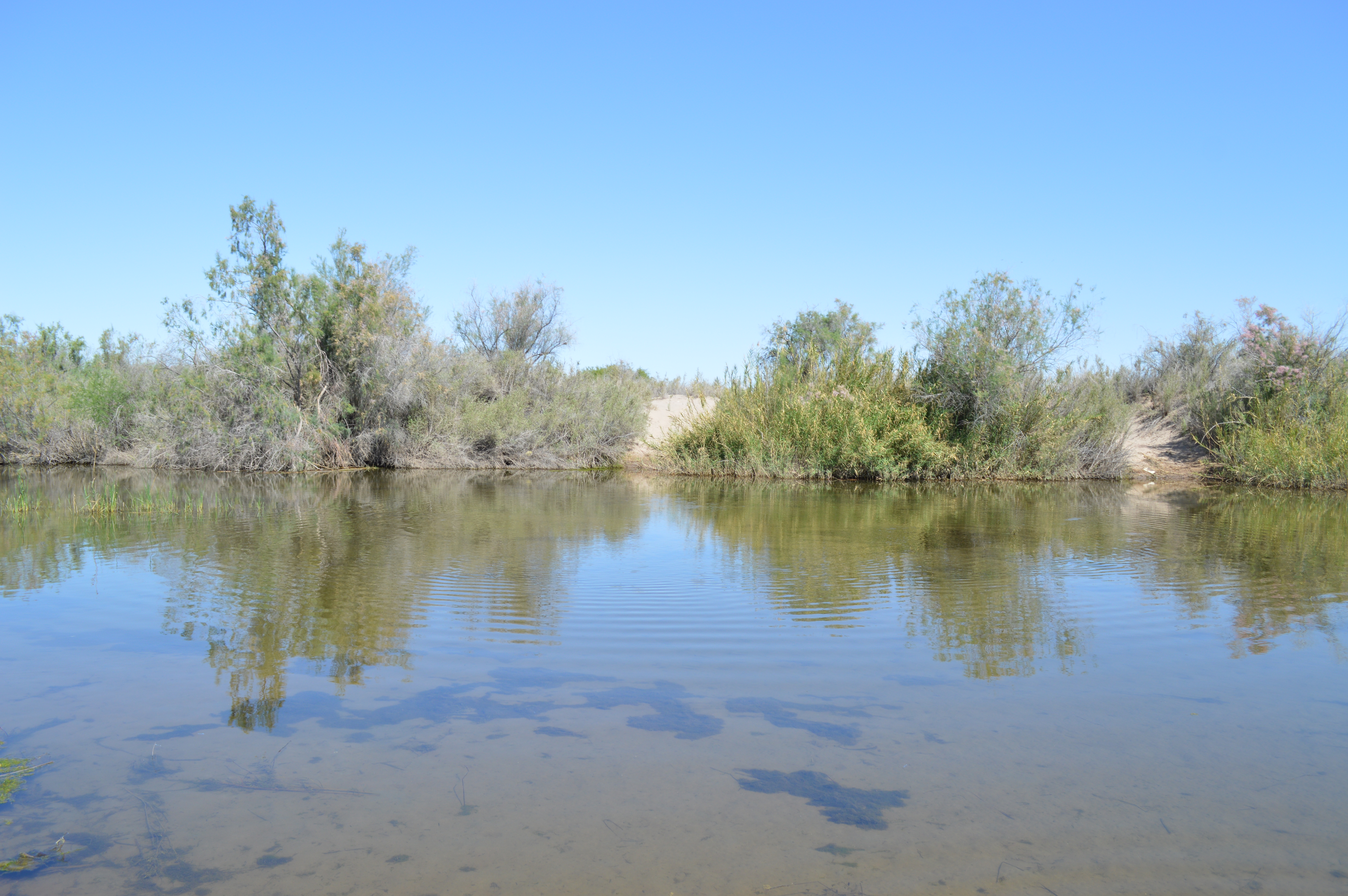
Although most agriculture receives its water from the Colorado River, the Gila River can play an important role with its seasonal flows, dependent on precipitation and snowmelt, particularly during the summer months.


[5] A Desert River


Getting to the Nexus was no small feat. After two, not uncomplicated excursions we had failed to find an access point. First, we ended up on a dead-end frontage road along the north side of the Colorado River some distance away. The next day we were stymied by a levy road with persistent work details and trucks making navigation somewhat threatening. The levy road is a serious unprotected embankment from which going over the edge would be disastrous. Finally, we found a levy crossing which we could successfully navigate the next day.

Crossing over the levy we accessed a very densely overgrown and sandy peninsula with ATV trails that disappeared into the brush. Parking the truck, we ventured off on foot in the general direction of the Nexus, leaving markers along the trail so as to find our way back. The landscape looked the same in every direction. After a ½ mile trek we arrived at an open sandy beach where the river presented itself for the last time before its merger with the Colorado.


We had long anticipated the experience of the rivers end, that place where the Gila River joins with the Colorado. The Nexus.

The Gila River’s identity presents an entangled relationship between nature, history, culture, economics, and politics, that unfolds over 649 miles. Our expedition revealed the delicate balance and struggle for survival of both the river and those that advantage it as a resource. One thing is certain, The Gila River is more than what it seems. From the wilderness of New Mexico to this very place of merger with the Colorado, the desert river persevers against all odds.

This moment, this sense of place, surpasses simple understandings of beauty and landscape, to emerge as transcendental, beyond beauty, beyond complexity. Simply sublime. As for the placement of the last medallion, Lisa suggests we just pitch it into the river to become part of the flow.


[6] Samples


Jaw bone from Nexus.


Water sample taken from last moments before the Gila River merges with the Colorado River.