Urbanization

Phoenix Metro Area

Maricopa County, including the greater Phoenix region, is one of the fastest metro growth areas in the US. This rapidly expanding metro area is projected to grow from 5,021,500 in 2022 to 8,398,600 in 2060. The job market today reflects opportunities in the expanding knowledge economy and growing technology, bioscience, and manufacturing sectors.

The City of Phoenix's water supply comes primarily from the Salt River, a tributary of the Gila River. The Salt River Project (SRP), which brings water by an elaborate network of canals and pipeline along with the Central Arizona Project (CAP), transports water from the Colorado River. Availability and access to water relative to projected growth, is impacted by climate change – specifically drought – and remains a significant strategic and tactical challenge.


33°22'44.0"N 112°18'19.0"W


[1] The Canalification


Canalification, canals breeding canals, is the distinguishing feature of the city of Phoenix, one of the fastest growing and 5th largest cities in the US. Modern Phoenix is made possible by a complex network of canals that crisscross the metro area making this desert city possible. Established in 1903 by ranchers and farmers, The Salt River Association was formed to address the impact of severe annual flooding from the Salt River. Renamed in 1910 as the Salt River Project (SRP), this organization has evolved simultaneously with the city of Phoenix to control access, manage, and expand the network.


The Salt River Project consolidated a system of canals that farmers and water companies built on their own. This system incorporates 151 miles of main canals that deliver water to 880 miles of subsidiary canals, called laterals. Today the SRP provides more than 850,000 acre-feet of water every year and delivers power to more than 1 million customers. The SRP, in conjunction with the US Department of Transportation, are now focused on realizing ‘CanalScapes’ intended to ‘integrate’ canals into communities by incorporating public art and landscaping, increasing pedestrian accessibility, and creating walking and bike paths. Still they remain canals for moving water. Don’t fall in, you just might drown.


On Dec. 23, 1944, 25 prisoners of war escaped through a tunnel out of Camp Papago, Arizona and scattered across the desert. This was the single largest escape from a United States facility during WWII. The tunnel stretching 178 feet went under two fences and a road before emerging on the banks of the Crosscut Canal. Led by U-boat commander Capt. Jürgen Wattenberg, the POWs were German and Italian naval personnel. With a stolen map, their plan was to navigate the Gila River to the Colorado River and on into Mexico. Several kayaks were passed through the tunnel in pieces to be reassembled for this journey. They arrived at the Gila only to find a few puddles. Lesson learned, the map is not the territory.

It is ironic that Papago Camp POWs provided labor for the construction of canals. A lone marker resembling a manhole cover sits adjacent to the bike trail along the canal near 64th street separated by a retaining wall from the suburb an neighborhood through the Cross-Cut Canal runs. Not easy to find, the tunnel marker places a hidden presence of NAZI’s in the backyard of America.


-- Title -->

[2] Policy and Power


The history, economics, culture, and landscape of Arizona has been shaped by copper mining. Arizona produces approximately 65% of copper in the US. Indeed, copper is one of the five five “C’s” upon which the Arizona economy was founded: cattle, cotton, citrus, climate, and copper, which are featured on the Great Seal of the State of Arizona. Strategic short and long-term balancing of water resources is critical in sustaining what is best described as the commodification of Arizona. The five C’s require water and lots of it, with the result being a complex state wide network of plumbing. Most water for copper mining is used in flotation beneficiation, smelting, and electro-refining. Water resources include aquifers, precipitation dependent rivers and streams, and allocation from the Central Arizona Project (CAP) that is pumped from the Colorado River via a network of canals and pipelines. One way or another, water flows to those who can pay for it.

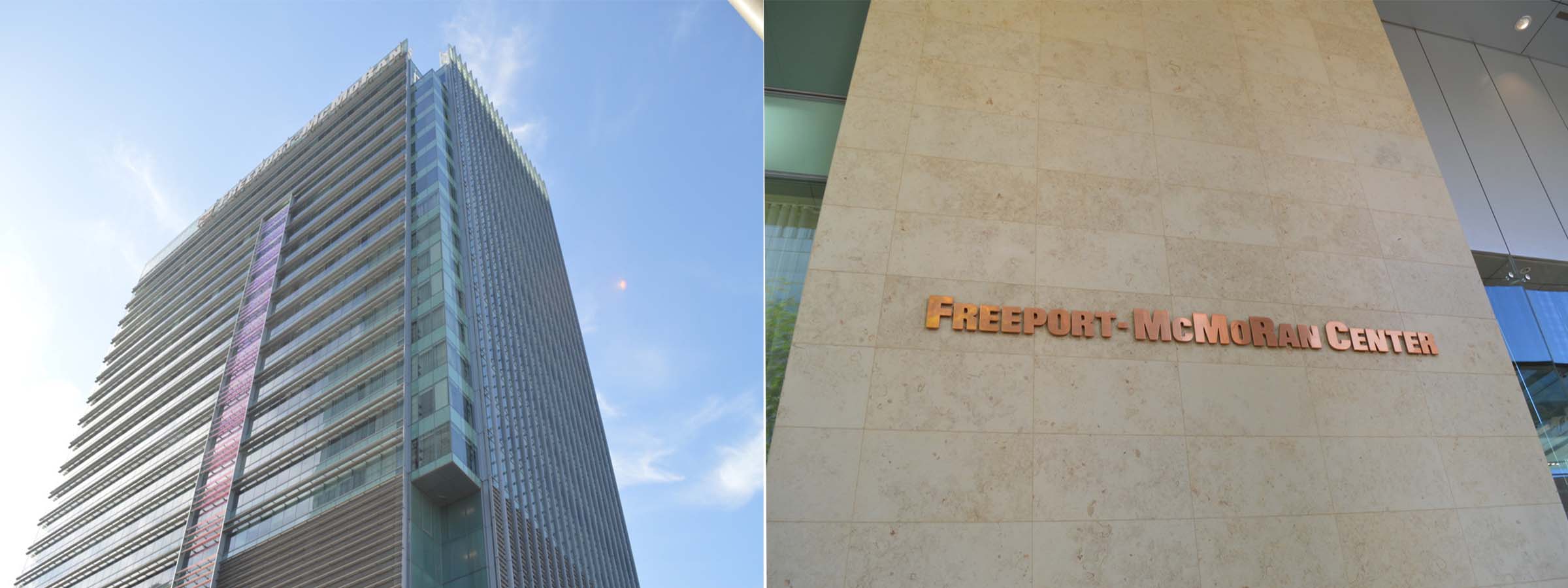
Headquartered in Phoenix, Freeport McMoRan Inc. is an American mining company. The company is the world's largest producer of molybdenum, is a major copper producer, and operates the world’s largest gold mine in Indonesia. In Arizona, Freeport McMoRan operates large open pit mines in Morenci, Bagdad, Safford, Sierrita, and Miami, as well as the Chino and Tyrone mines in New Mexico. The company has large undeveloped mineral reserves. Freeport-McMoRan’s annual revenue for 2022 was $22.78 billion dollars. The direct and indirect economic impact states are no small potatos.


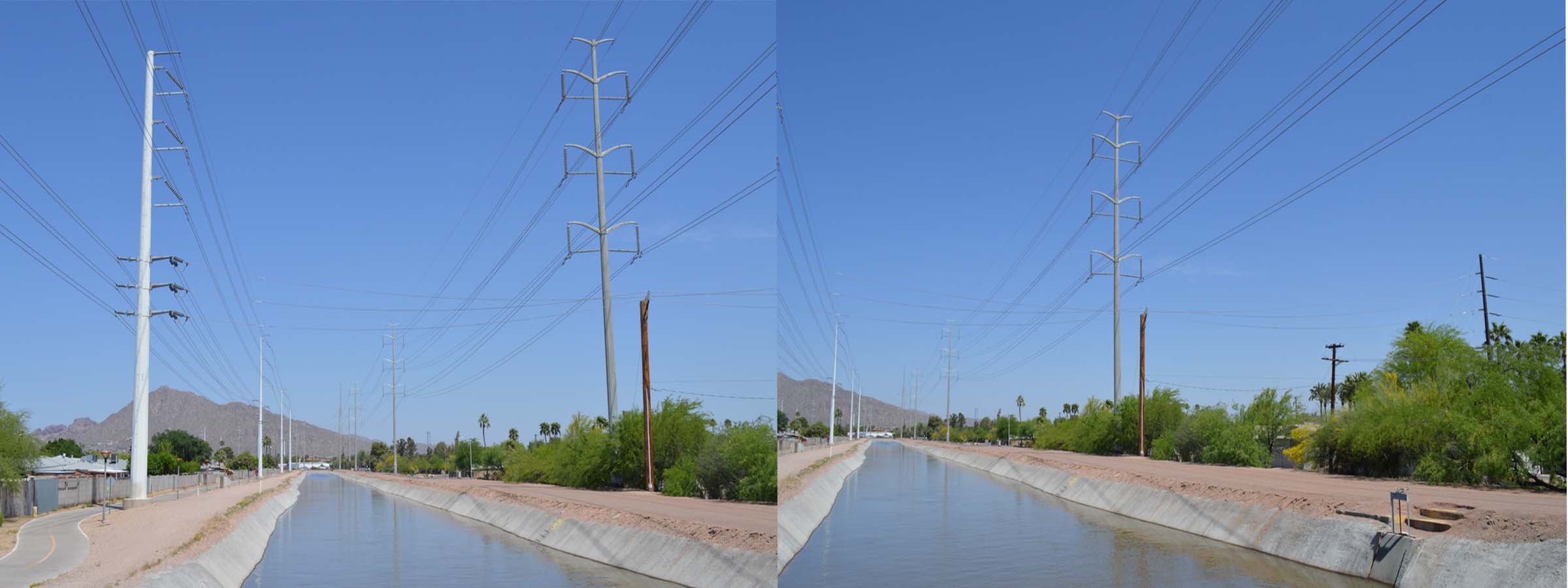
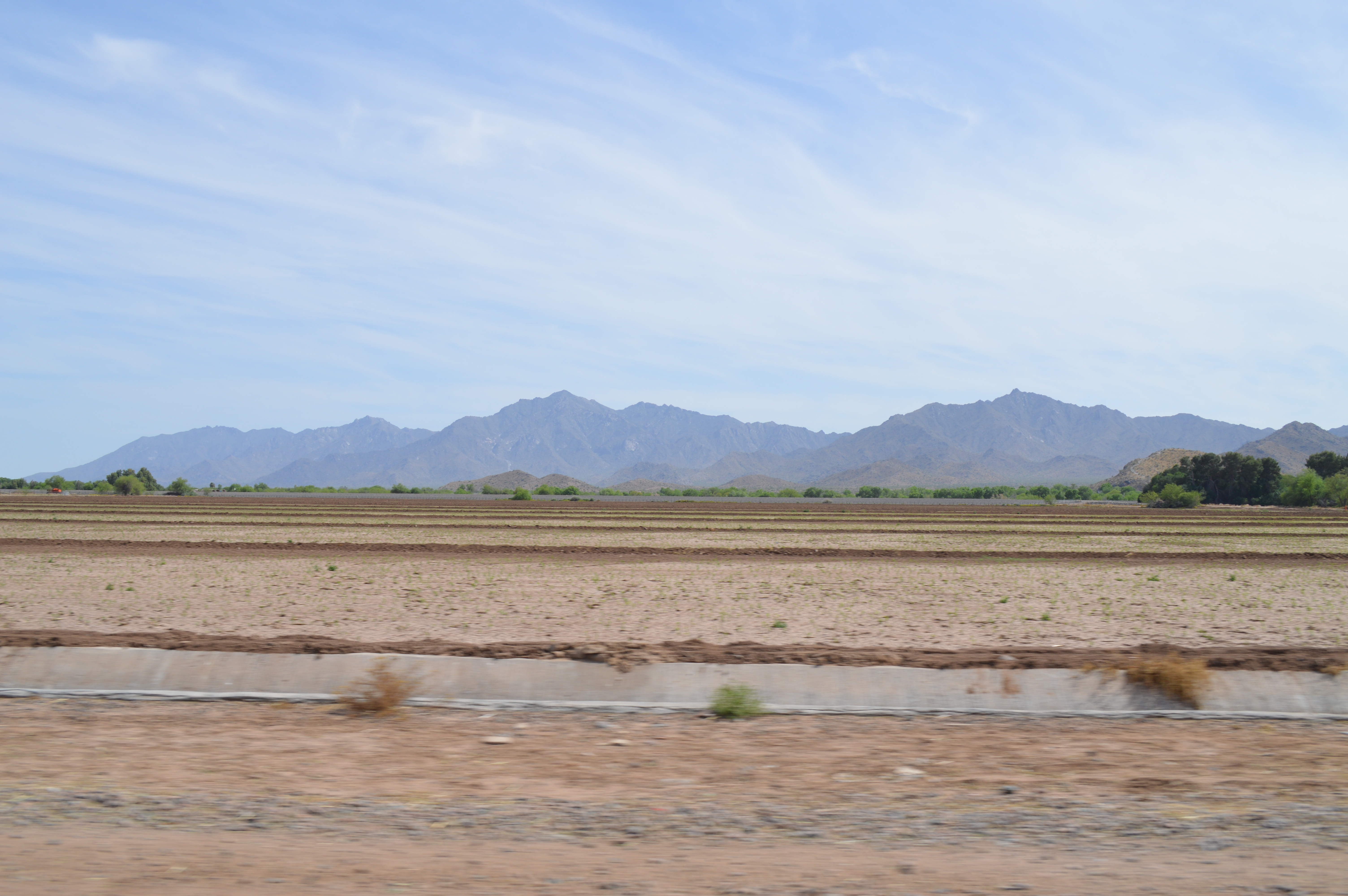
Water planning and management in Maricopa County relies on regional cooperation, which is complicated at best. As of the 2020 US Census, Maricopa County has a population of 4,420,568, about 52% of Arizona’s population. Located in the Sonoran Desert, Maricopa County receives less than 11 inches of rain per year. Effective regional management of water resources therefore necessitates cooperation across jurisdictional and regulatory boundaries, including diverse land ownership (52% federal, 30% private, 13% state, and 4% Tribal), coupled with overlapping service areas of public and private water providers. Who has access to what and why is as complicated as the history and culture of water rights in Arizona.

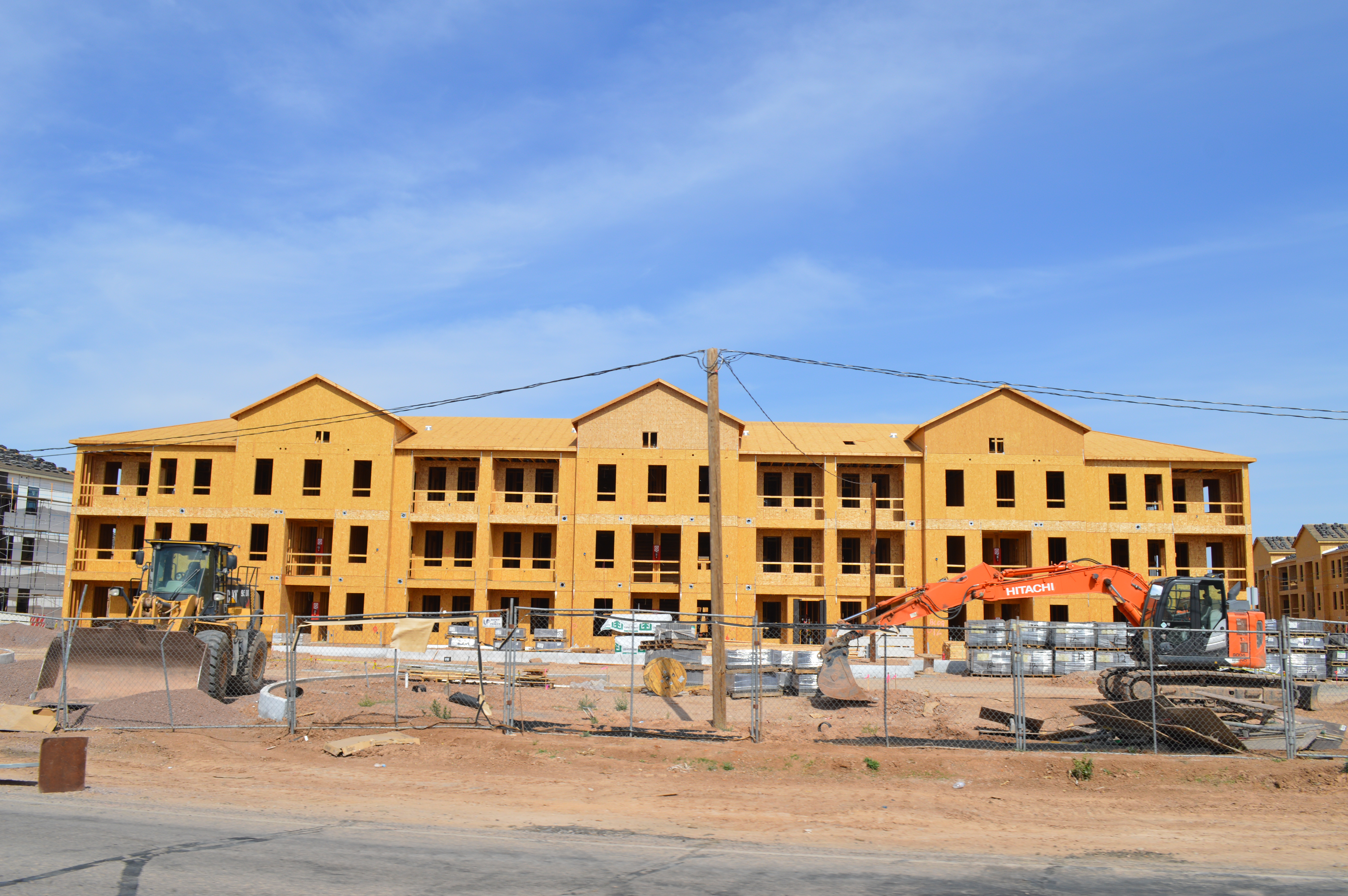
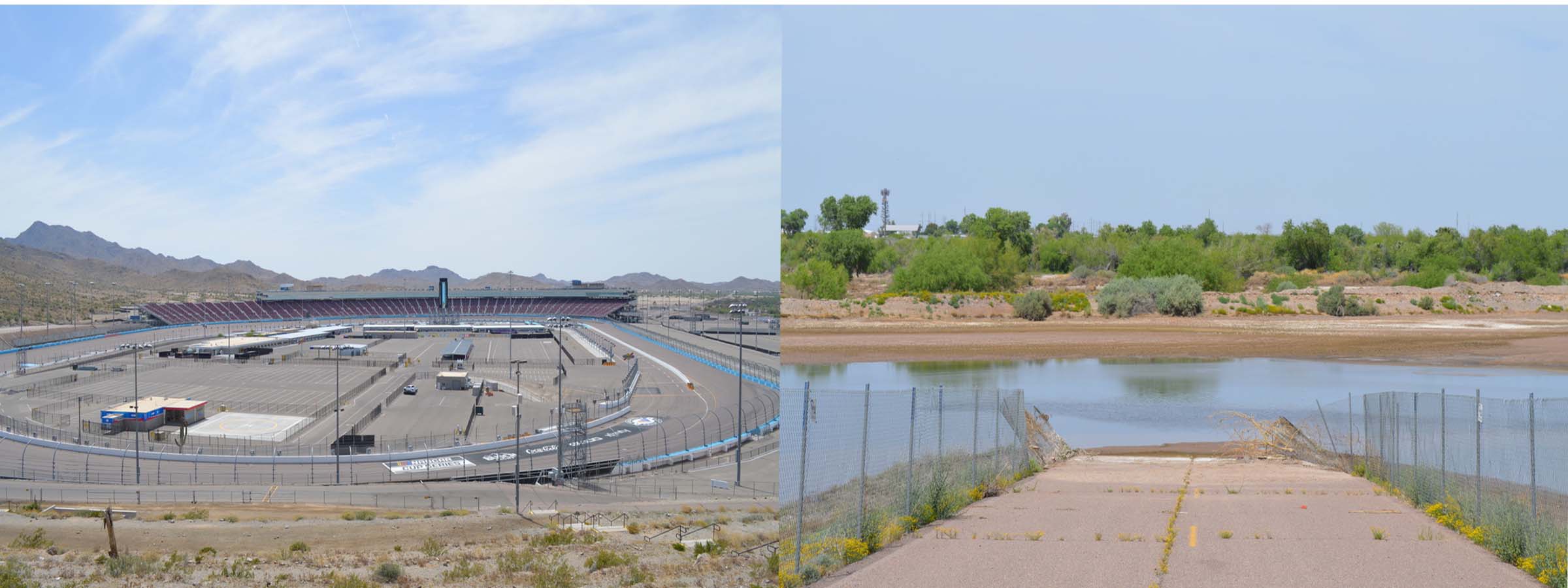
On June 1, 2023, Governor Katie Hobbs announced restrictions that impact the rapidly expanding suburbs in the Phoenix metro area of Maricopa County. The restrictions apply to new construction that relies on existing aquifers. Climate change predictions, exasperated by multiple years of drought, indicate that over the over the next 100 years, demand for 4.9 million acre-feet of water from exisiting acquifer supplies will be unmet without further action. Aquifers are a finite resource so, counting on a future based on conservation and the development of alternative water resources is questionable. The decision on future construction marks the beginning of the end of the extraordinary and rapid expansion of Phoenix.


-- Title -->

[3] Expansion>


As some wells run dry and aquafirs become unsustainable, not all Phoenix communities have water resource issues. In fact, many communities in the Phoenix area serviced by municipal water Providers have 100-year assured water supply designation and are not experiencing emergencies. This regulation is tied to the 1980 Ground Water Management Act that abides by the principle, “water first then development”. Direct stewardship by local community leaders and elected officials guides a process of meeting the needs of its residents.


Is Phoenix running out of water? Well…yes and no. The land is cheap, and the rapid development of the Phoenix metro area now extends beyond municipalities covered under the Ground Water Management Act. Phoenix is expected to double its current population by 2040. Just south of Phoenix along the nearby Gila River, the communities of Queen Crreek, Buckeye and Marana are growing at an even faster rate. An astonishing 82,000 new homes have been built in the Phoenix metro area in the past three years. Numerous large manufacturing projects are also being built across the region along with new resorts, entertainment, retail and office projects. To have adequate water supply, developers are purchasing ranch and farm lands to assume their water rights and selling the water as an ‘altnernative’ resource so as to sustain expansion.


So here is the rub. Agriculture is the largest user of water in Arizona, consuming about 74 percent of the available water supply. Remember the “5 C’s” (cattle, cotton, citrus, climate, and copper). Well, its safe to say that a focus on continued urbanization of the region is going to change that equation.


-- Title -->

[4] Confluence of Gila and Salt Rivers


Venturing into the the Confluence of the Salt and Gila Rivers was like stepping into a alternate reality. Lush and wet, fluid and over flowing, water was everywhere. .


The Salt River meets the Gila River near Avendale, Arizona, a few miles southwest of of Phoenix. On our drive there we traversed across 30 miles of surface streets revealing, first hand, the transformation of Phoenix. Mile after mile of suburban communities punctuated by what seemed like an endless repetition of chain stores, restaurants and retailers. Construction of huge business centers was everywhere. As we neared our destination, the line between rural and urban became apparent. To our surprise, the Confluence is literally next to the Phoenix Raceway, a 42,000 seat capacity Nascar track that opened in 1964..


Gila River Flood Waters.


Our expectations were high. There had been a good deal of rain and snow pack melt feeding the Salt River and this brought with it some serious flooding and much needed replenishment to the Gila. On this day, the waters are well over the river’s banks, having flooded a vast area making the Confuence reachable only by wading into the flooded terrain for about ¼ mile. Standing in the flow of the Confluence, the realities of Phoenix disappear. Absolutely worth it.


[6] Samples


The samples presented in this section were all collected from the confluence of the Gila and Salt Rivers which was a primary focus o our exploration.


Farm and ranch fence gates often utilize makeshift latches from whatever might be available such as found wire.


A massive amount of spent 5.56 x 45mm cartridges were evidenced trhoughout the site. This ammunition was first developed and used in the late 1970s for the M16 rifle and was widely used by NATO forces.


Equally present was evidence of alcohol consumption. Corona is a brand of beer produced in multiple breweries in Mexico and exported to markets around the world.


Water sample collected from the confluence during flood stage.


Platsic fishing worm.


Small rocks found along the bank of the Gila River immediately prior to joining the Salt River flowing from the North.


Thick brush is found throughout the Confluence area on all sides of both the Gila and Salt rivers making it difficult to traverse the site.